Types of Projects Completed
Explore our successfully completed surveying, mapping and infrastructure projects with state-of-the-art technology.

Residential Layout Surveys
Land & Plot SurveysHigh-precision boundary demarcation and master plot layout planning for modern residential townships.
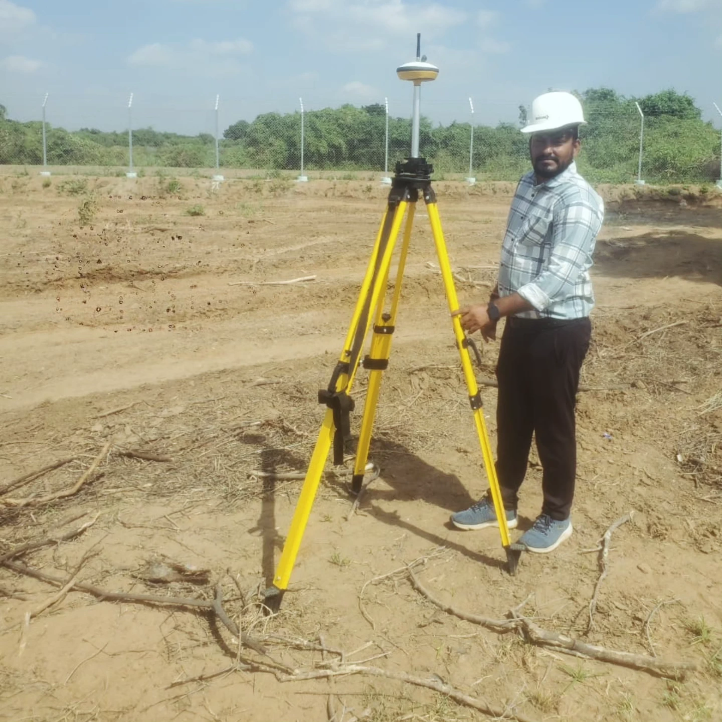
Agricultural Land Surveys
Land & Plot SurveysComprehensive farmland area measurement, acreage calculation, and contour topographic mapping.

Industrial Land Surveys
Land & Plot SurveysDetailed industrial park layout mapping, utility alignment, and foundation level verification.

Road Alignment Surveys
Infrastructure & RoadEnd-to-end corridor survey, cross-section profiling, and longitudinal alignment for highway expansion.
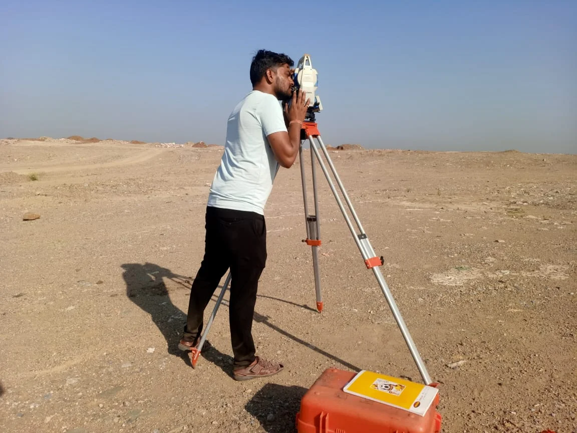
Plot Demarcation Projects
Land & Plot SurveysPrecise pegging, corner coordinate fixing, and official boundary demarcation for legal layout registration.
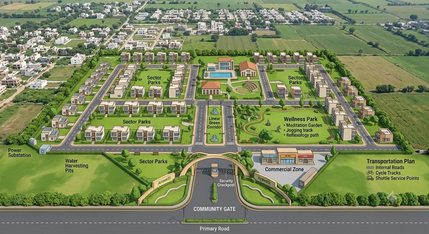
Colony Development Layouts
Layout & DevelopmentMaster plan layout execution, internal road marking, drainage alignment, and open space demarcation.

Topographical Surveys
Infrastructure & Road3D digital terrain modeling, contour line generation, and elevation mapping for major civil works.
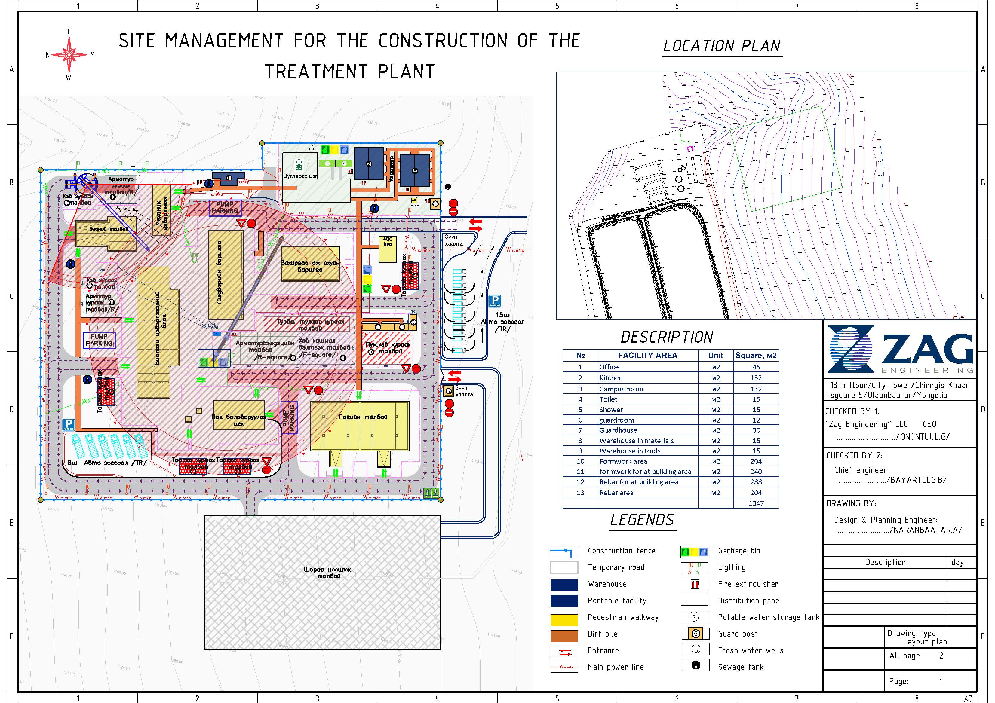
Construction Layout Projects
Layout & DevelopmentBuilding column grid axis marking, structural center-line layout, and elevation grade control.
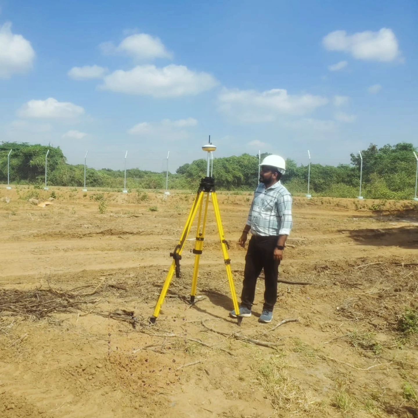
DGPS Control Surveys
DGPS & Drone MappingEstablishing high-accuracy primary reference control points (GCP) for state survey grids.
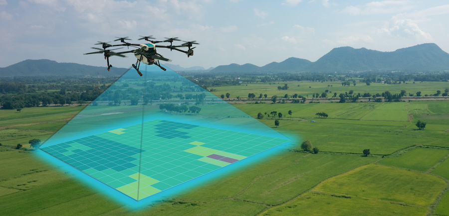
Drone Mapping Projects
DGPS & Drone MappingHigh-resolution aerial orthomosaic mapping, 3D point cloud generation, and volumetric analysis.