About Us
Construction solutions focused future ready
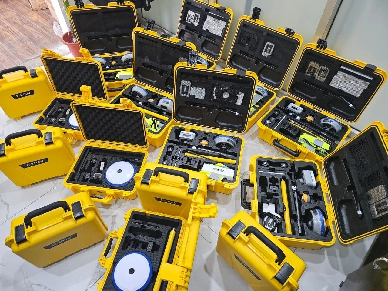
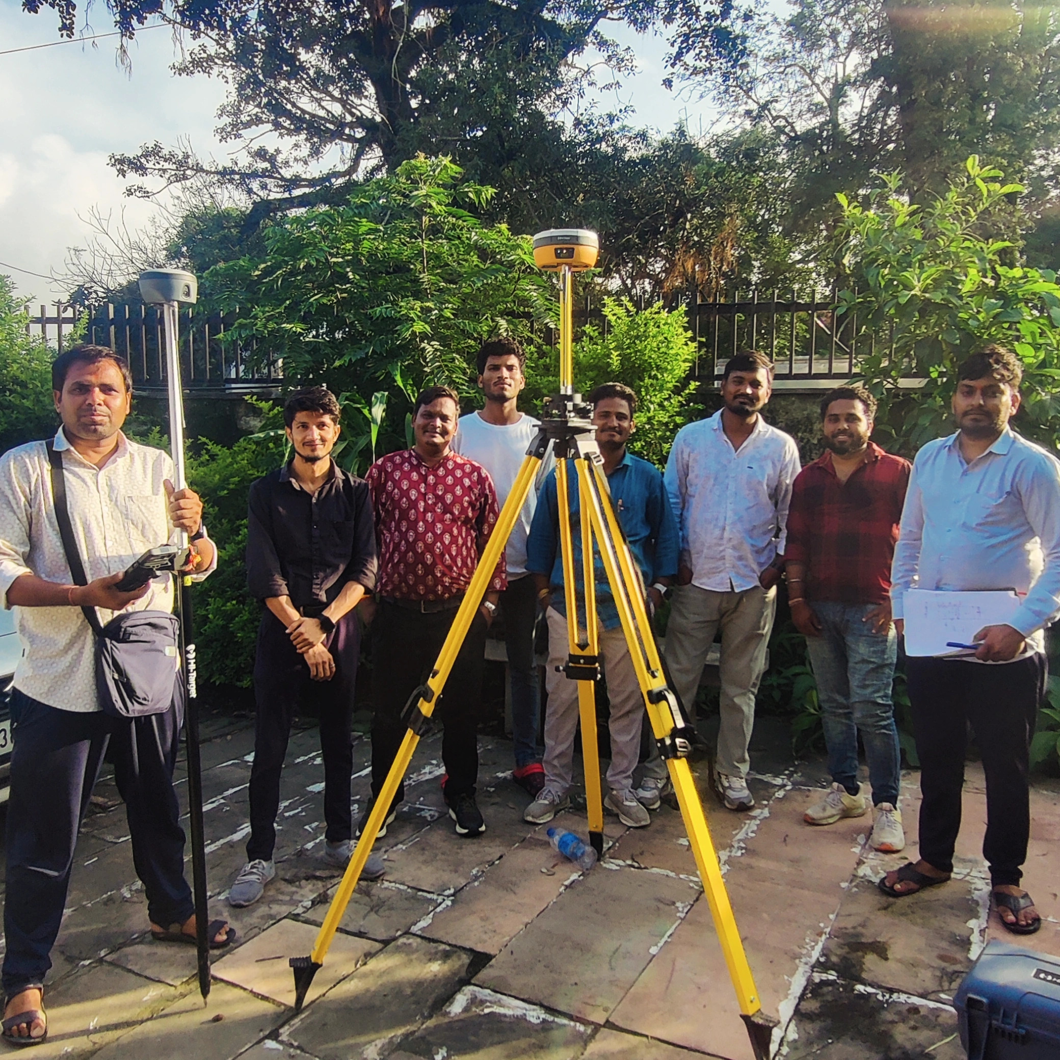
Maa Digital Land Surveyors is a professional land surveying and engineering consultancy firm established in 2020. Led by Civil Engineer and Survey Expert Er. Hemendra Mali, the company provides accurate, reliable, and technology-driven surveying solutions using advanced instruments such as DGPS, Total Station, Auto Level, Drone Survey Technology, and GIS Mapping Systems.
We specialize in land measurement, topographical surveys, boundary demarcation, construction layout surveys, contour surveys, GIS mapping, and engineering survey services. Our mission is to deliver precise data, professional consultation, and dependable solutions for government, private, industrial, and residential projects.

- High quality materials
- Expert engineers
- Best team members