LANDMARK PROJECTS & SURVEY ASSIGNMENTS
Our project experience spans heritage structures, highways, transmission infrastructure, utility networks, solar developments, land planning and township projects.
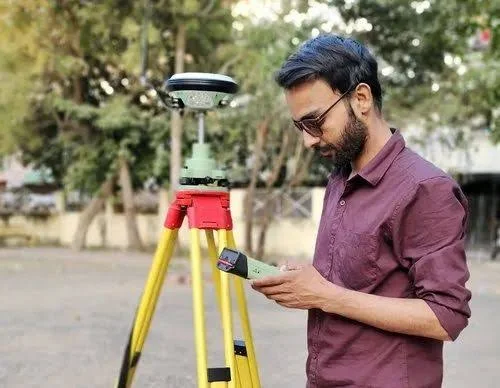 Heritage & Documentation
RBI Monetary Museum, Mumbai
Existing Building Survey & Documentation
 Heritage & Documentation
CSMT Project, Mumbai
Survey & Documentation
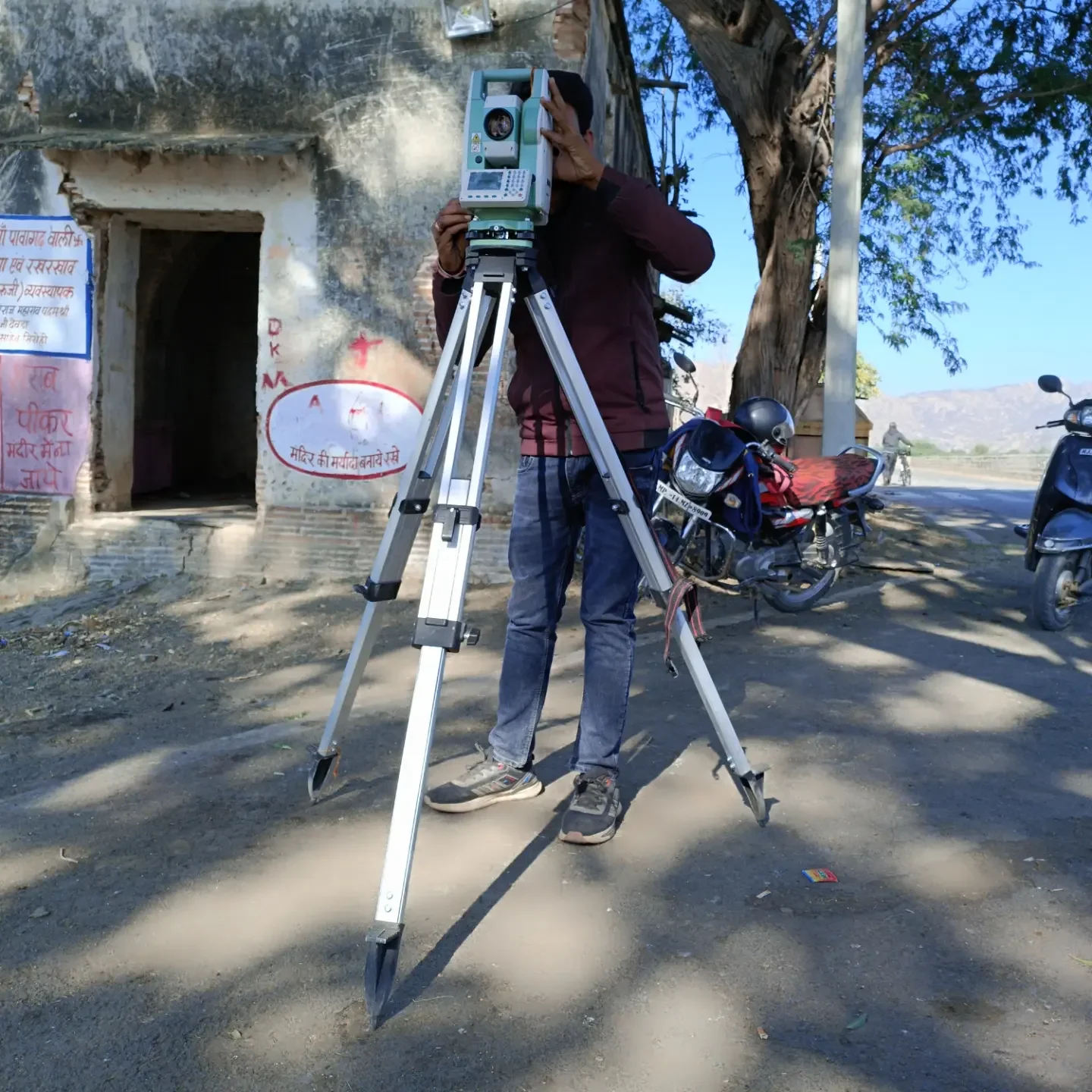 Heritage & Documentation
HAL Museum Project
Existing Building Survey
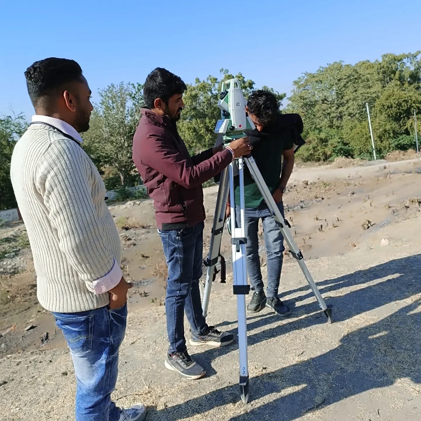 Heritage & Documentation
Ahar Museum
Topographical Survey
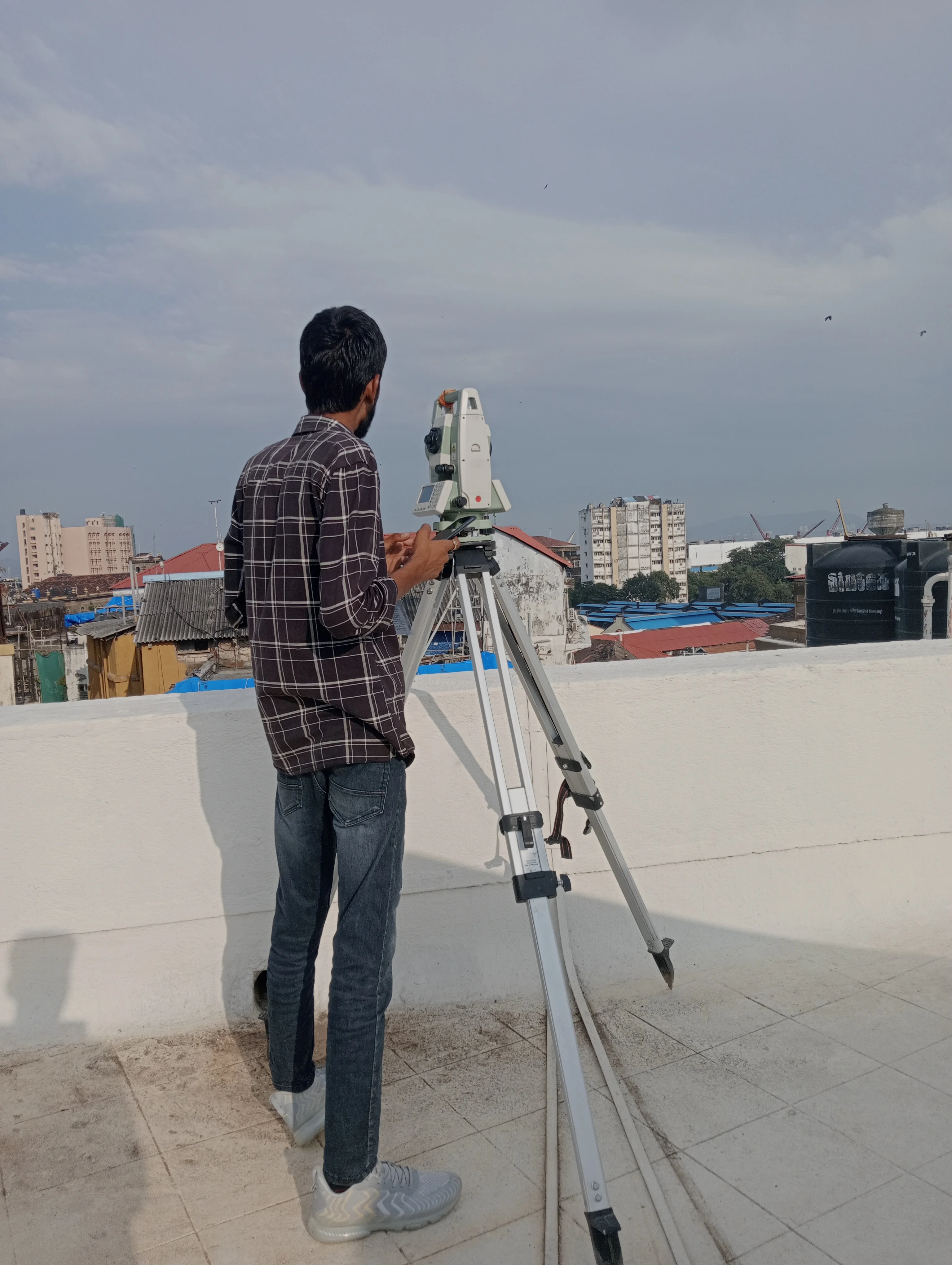 Heritage & Documentation
Fateh Prakash Mahal, Chittorgarh
Survey Work
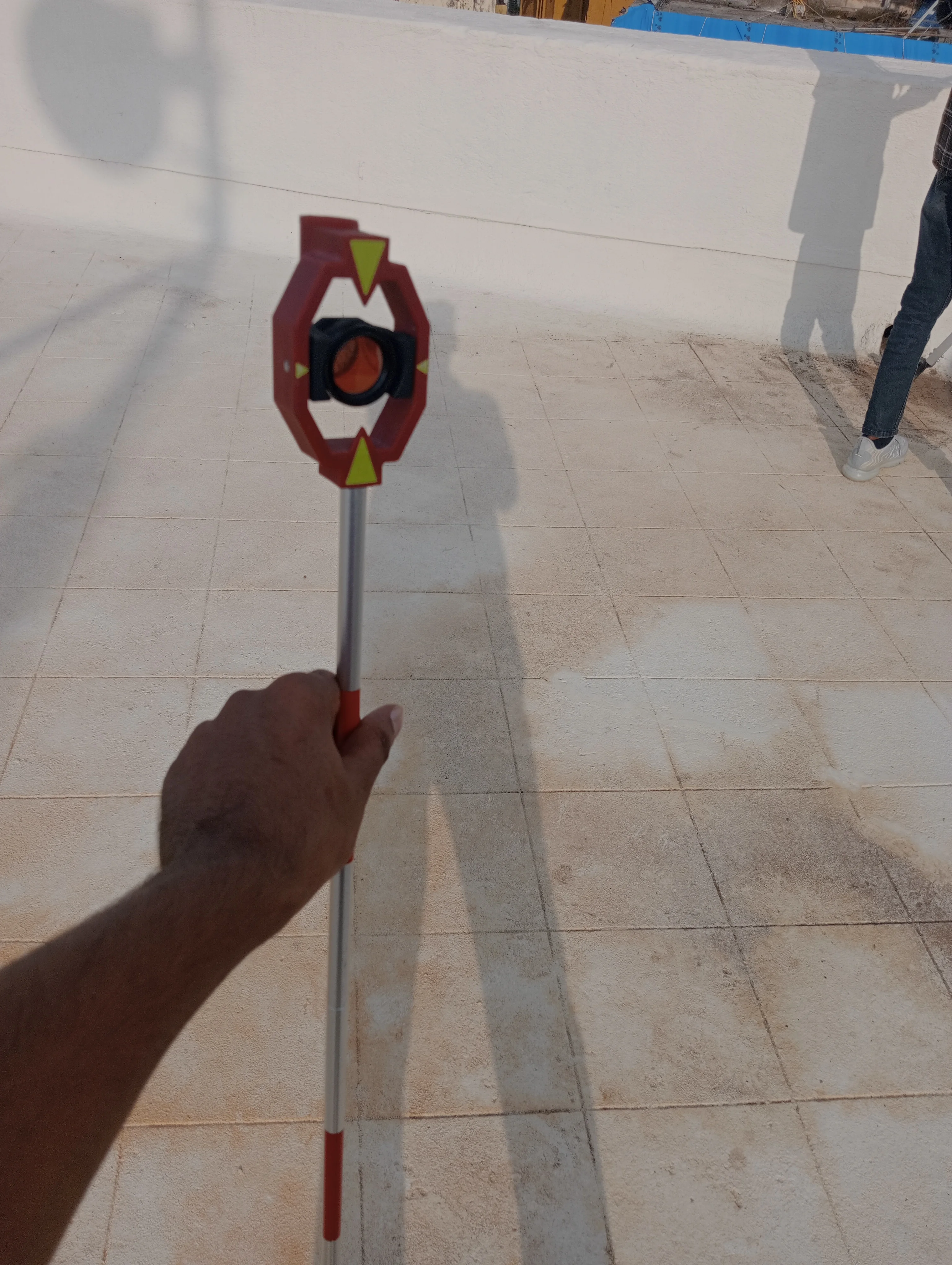 Infrastructure
High Transmission Line Projects
Power Grid & Infrastructure Survey
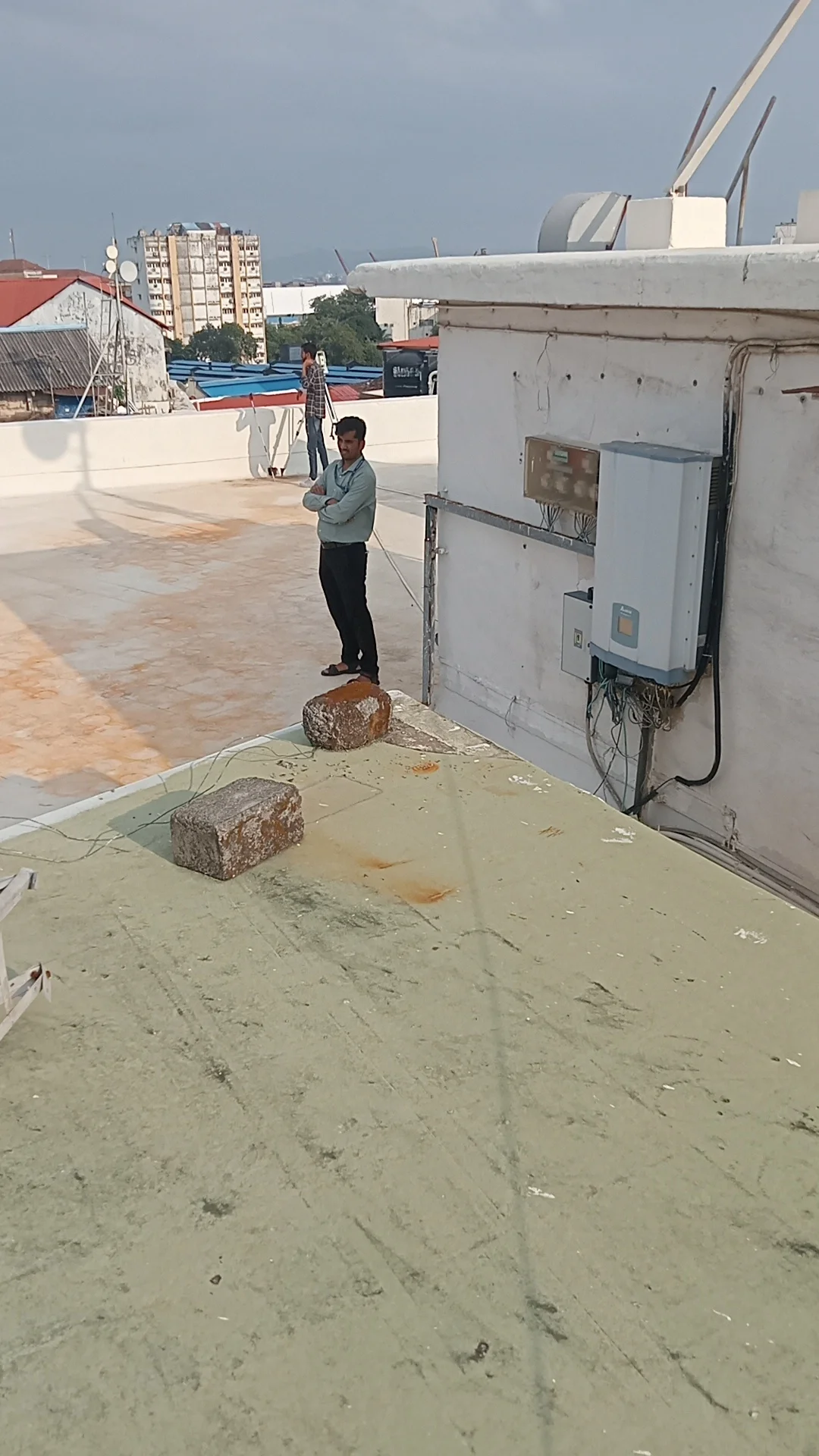 Utilities & Pipeline
Gujarat Gas Pipeline Survey, Rajasthan
Pipeline Alignment & Survey
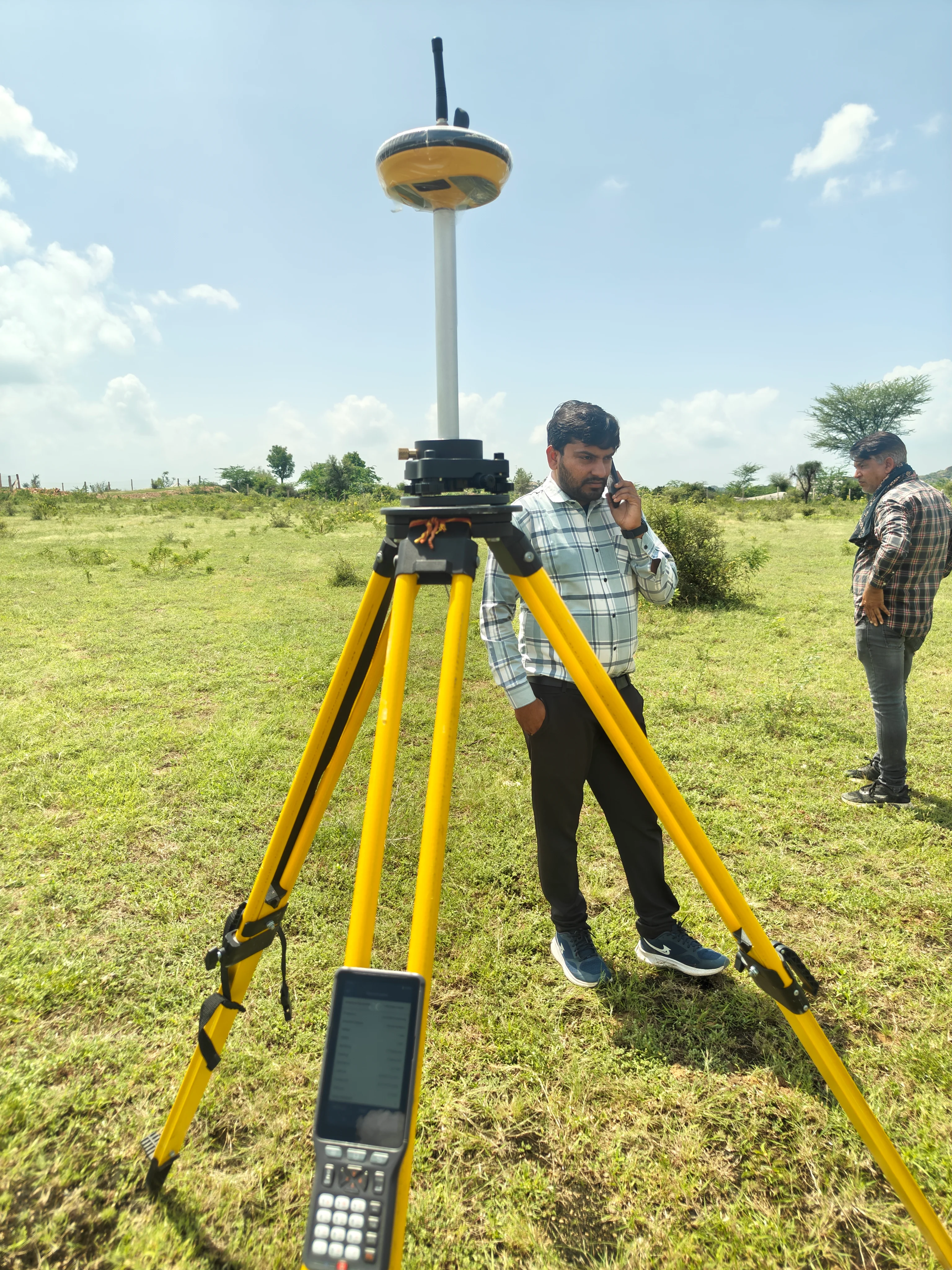 Infrastructure & Urban Development
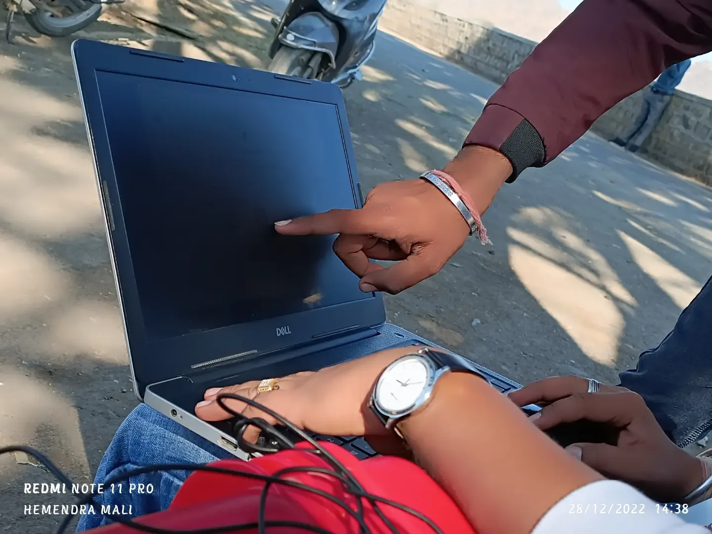
Legacy Waste Survey Projects, Rajasthan
Topographic, Contour & Quantity Survey under Swachh Bharat Mission 2.0 for Urban Local Bodies
 Infrastructure & Highway
Udaipur–Palanpur Highway
Existing Road Structure, Topographical & Contour Survey
 Real Estate & Building Survey
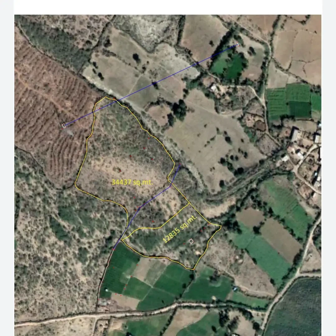
Mount Abu Hill Station
Hotel & Existing Building Surveys
.webp) Solar & Land Survey
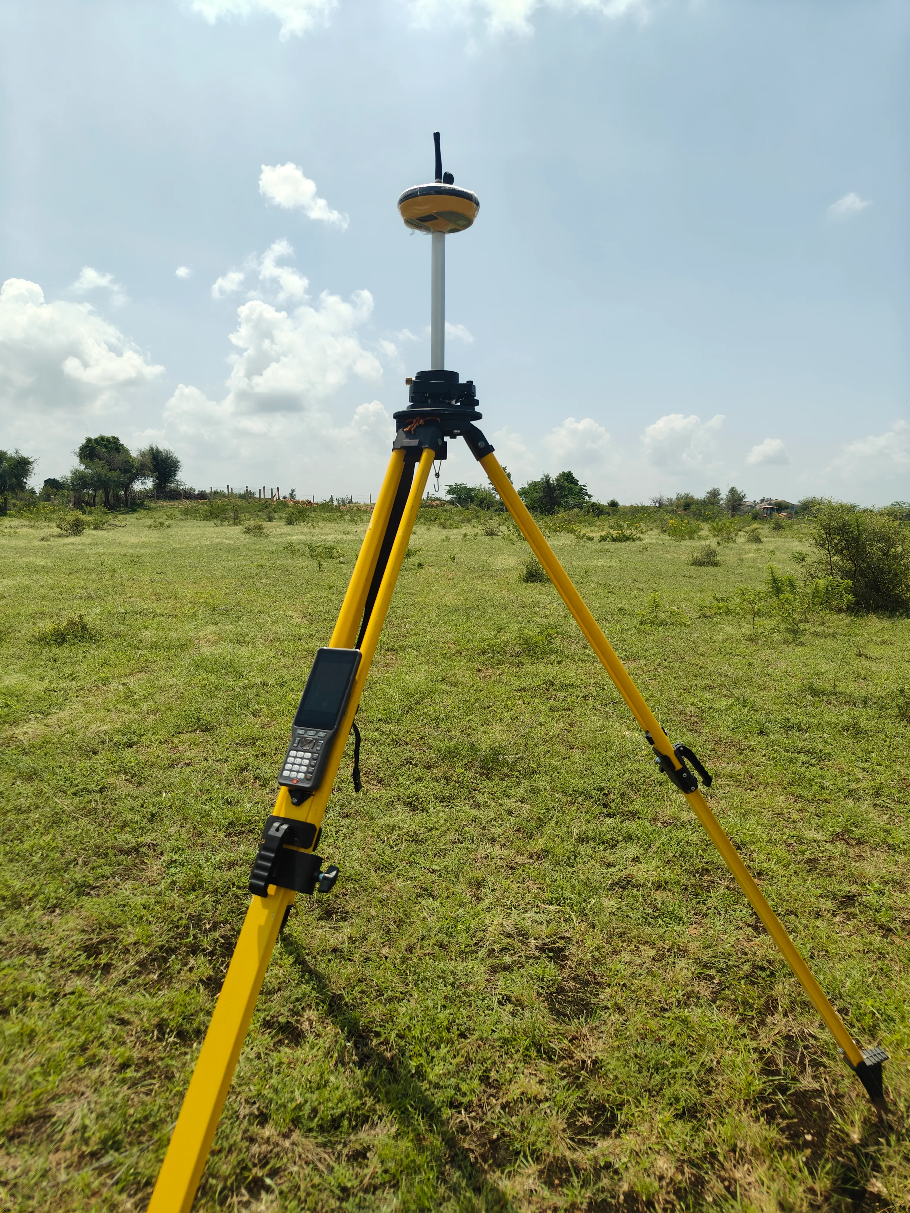
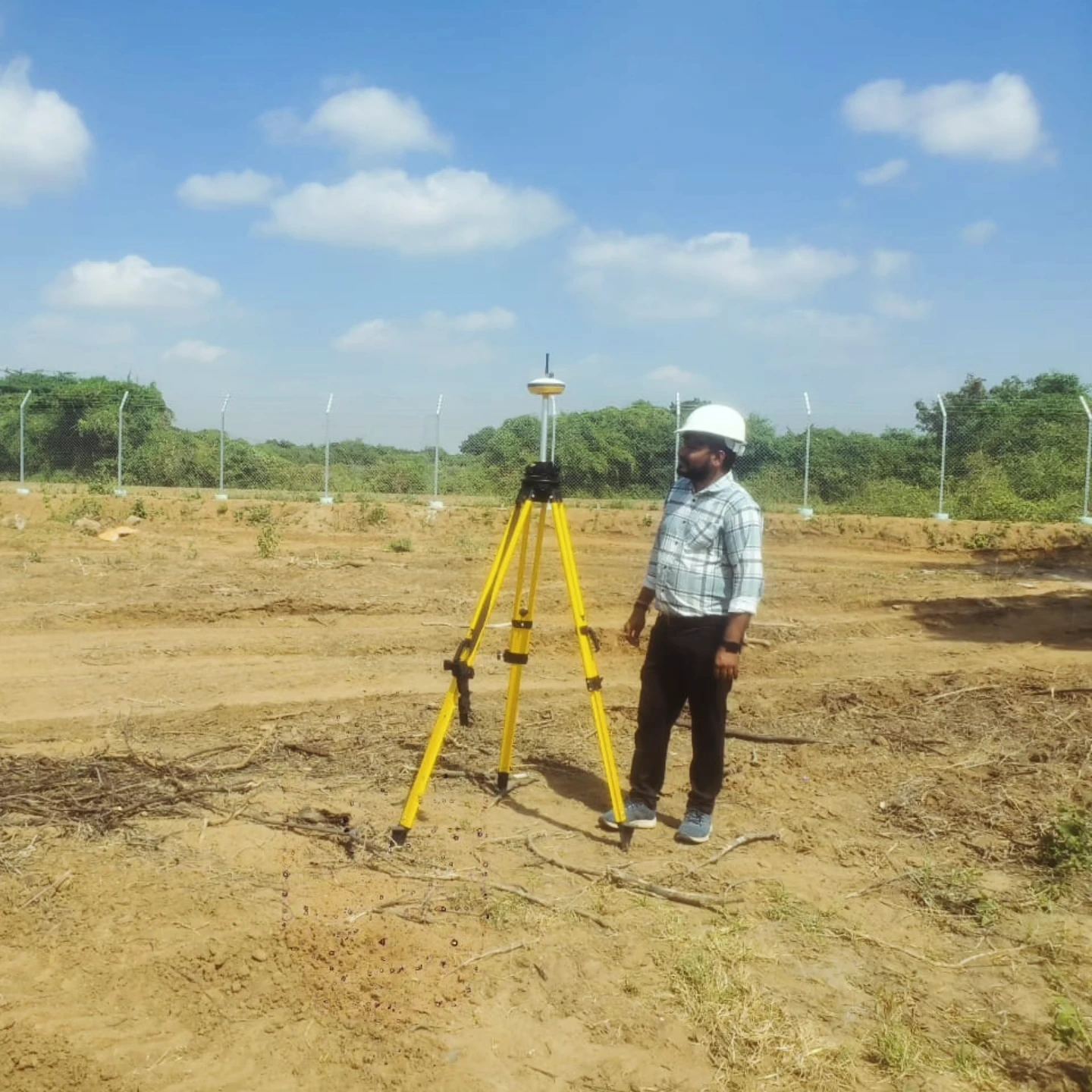
Solar Power Projects
Land & DGPS Survey
 Real Estate & Planning
Jawai Resort Project
Land Survey & Planning
 Planning & Development
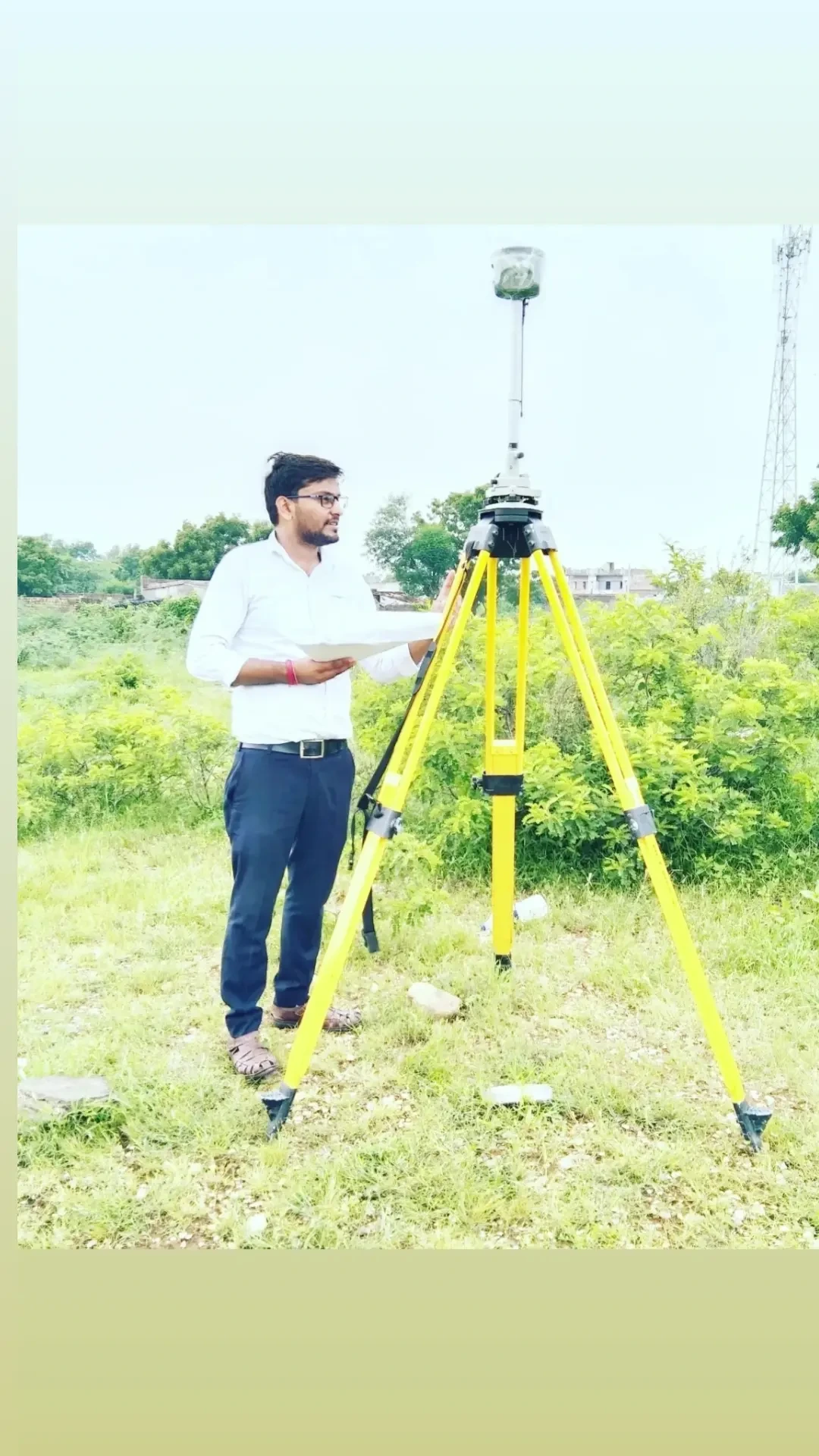
Police Line, Sirohi
Survey & Planning
 Township & Development
Sirohi Township Development Projects
Township Map Approval, Layout Design, Plotting & Developer Planning
 Planning & Development
Aman Garden Colony, Sumerpur, Pali
Colony Planning
 Planning & Development
Sarneshwar Mandir Area
Colony Planning
 Commercial Planning
Radhe Market
Commercial Complex Survey & Planning
 Residential Planning
Voveshwar Residency
Survey & Planning