+91 8559806478 +91 8696314907 maadigitallandsurveyors@gmail.com
Iscon Plaza (Old Cinema Hall), 1st Floor, Shop No. 6 & 7, Sirohi, Rajasthan

Welcome to MAA DIGITAL LAND SURVEYORS

Your Trusted Partner
In Land Solutions.

We're dedicated to building and improving that which is important to you, with quality and care.

CALL
Construction Worker
Engineers talking

About Us

Construction solutions focused future ready

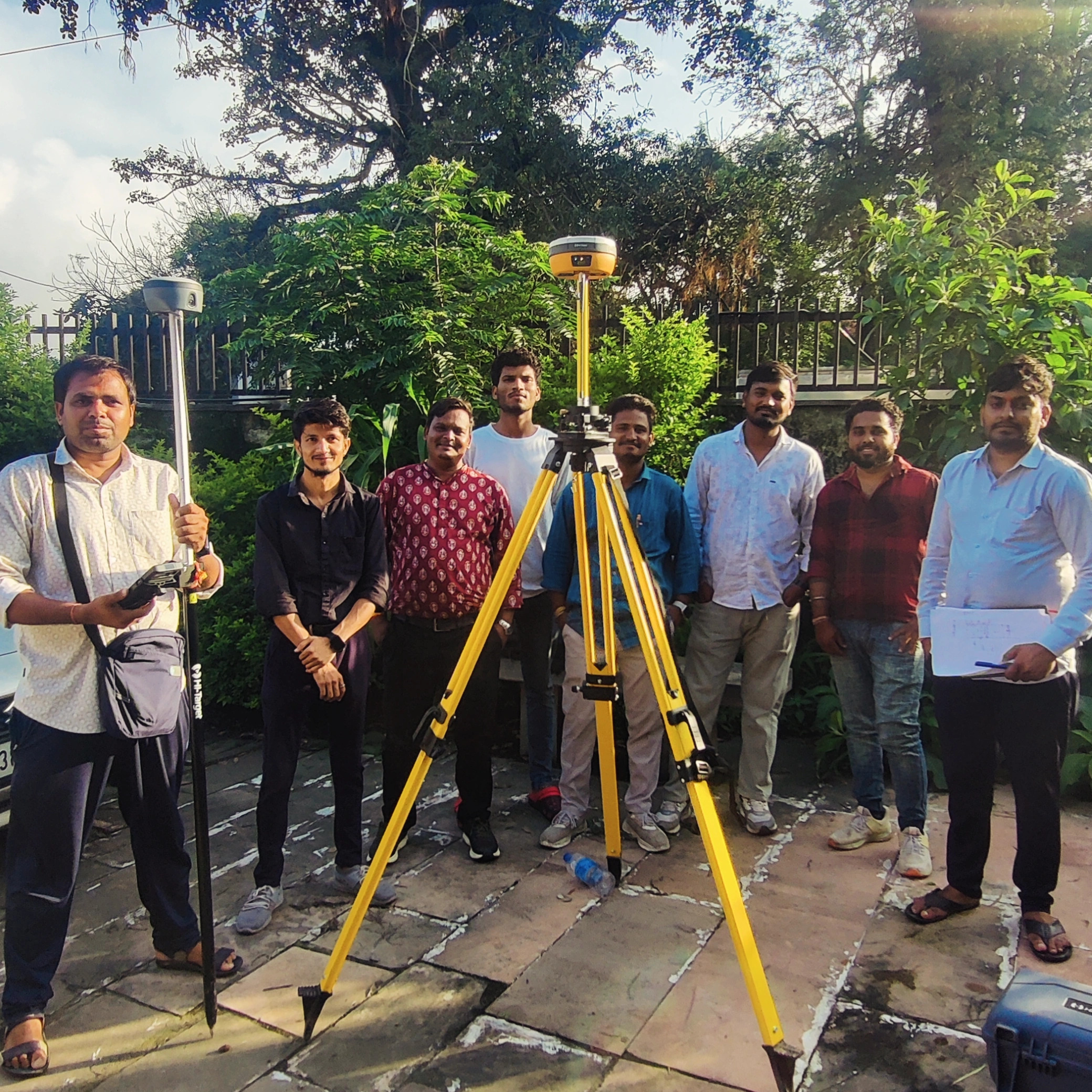
Maa Digital Land Surveyors is a professional land surveying and engineering consultancy firm established in 2020. Led by Civil Engineer and Survey Expert Er. Hemendra Mali, the company provides accurate, reliable, and technology-driven surveying solutions using advanced instruments such as DGPS, Total Station, Auto Level, Drone Survey Technology, and GIS Mapping Systems.

We specialize in land measurement, topographical surveys, boundary demarcation, construction layout surveys, contour surveys, GIS mapping, and engineering survey services. Our mission is to deliver precise data, professional consultation, and dependable solutions for government, private, industrial, and residential projects.

Working
  • High quality materials
  • Expert engineers
  • Best team members

SERVICES

Construction solutions focused future ready

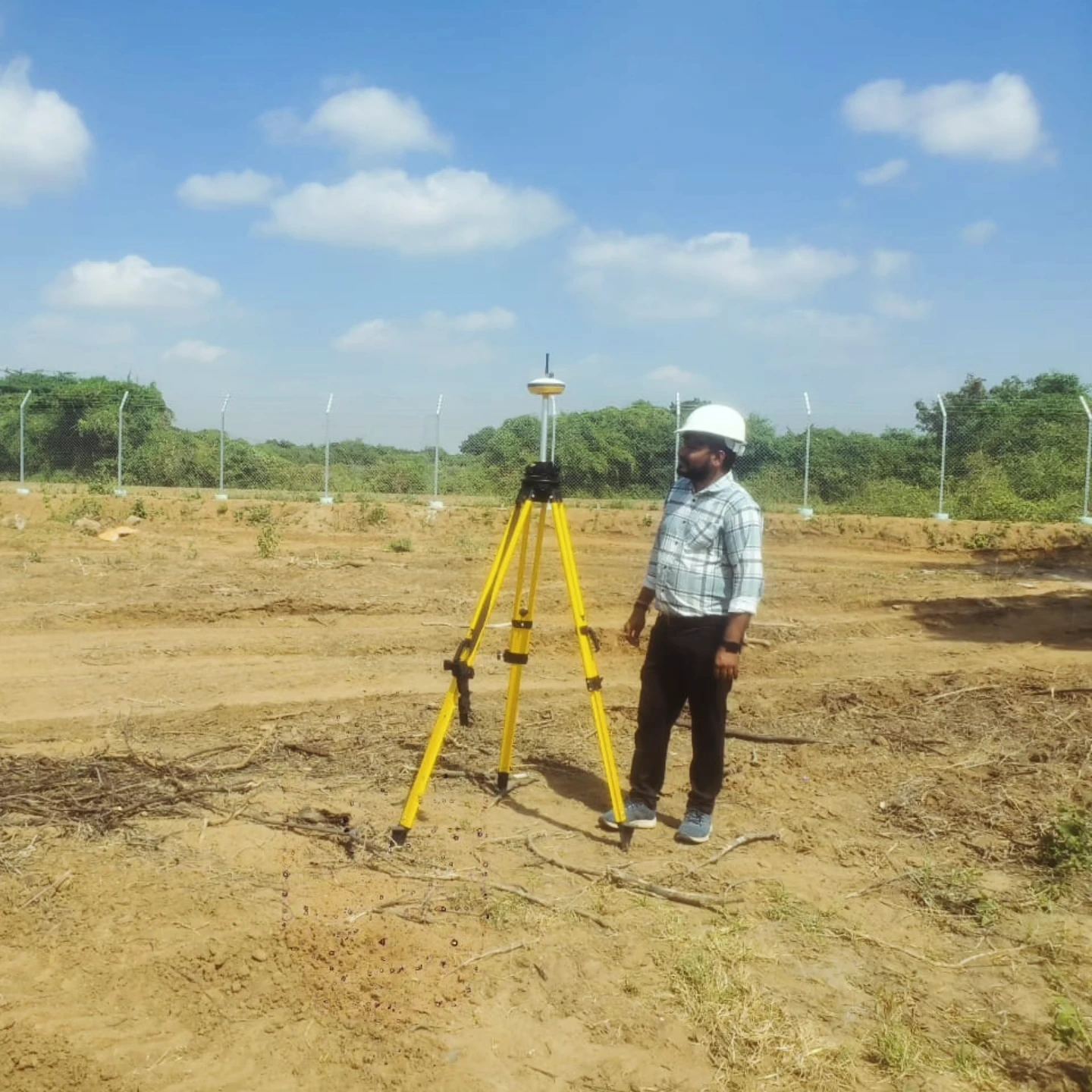
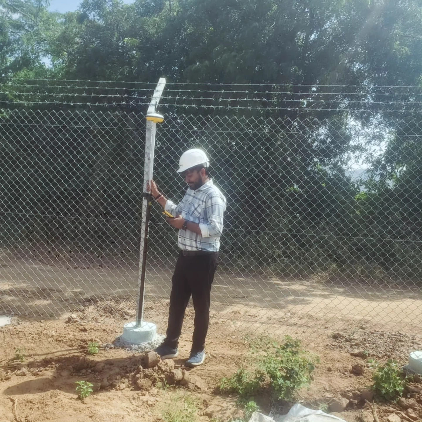
DGPS Survey

DGPS Survey

High-accuracy geospatial positioning survey.

Topographical Survey

Topographical Survey

Detailed mapping of natural and man-made features.

Drone Survey

Drone Survey

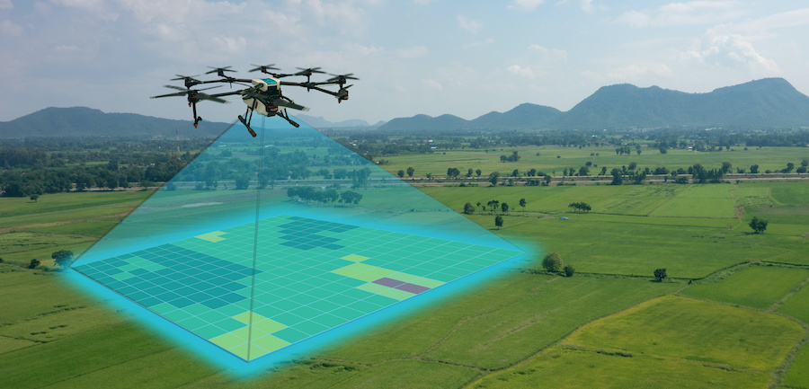
Fast and accurate aerial land survey.

GIS Mapping

GIS Mapping

Digital mapping and spatial data management.

Boundary Survey

Boundary Survey

Accurate property boundary demarcation.

Layout Survey

Layout Survey

Construction and development layout marking.

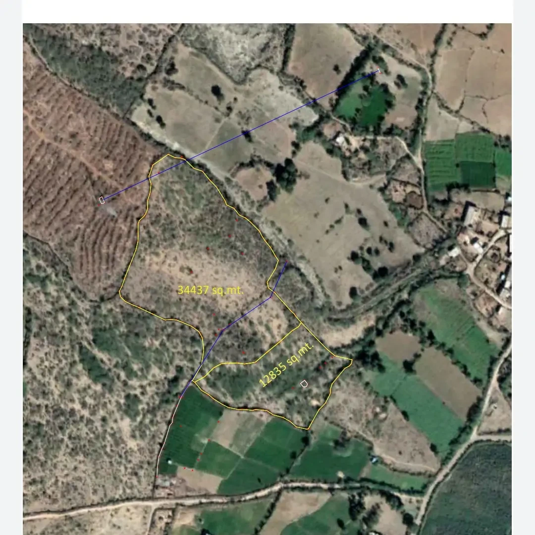
Land Measurement

Land Measurement

Accurate measurement of land parcels.

Construction Survey

Construction Survey

Survey support during construction projects.

Video Placeholder

Why choose us

Why you should choose
our maa digital land surveyors platform.

We are dedicated to building and improving that which is important to you, with quality and care.

High Accuracy

Advanced Technology

Experienced Team

Client-Focused Approach

Construction 85%
Renovation 95%
Modern Innovation

Equipment & Technology

Advanced Survey Equipment & Modern Technologies for Accurate Land Solutions

Survey Equipment

7 Instruments
GNSS System

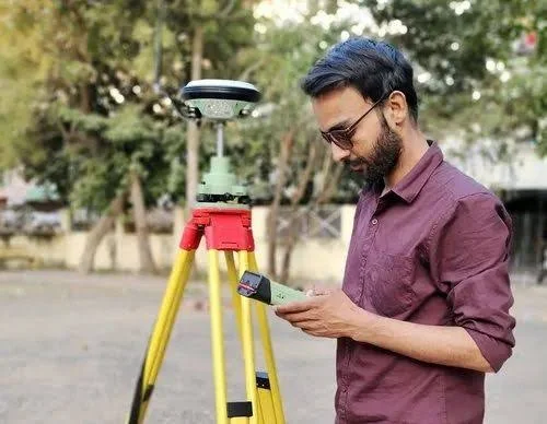
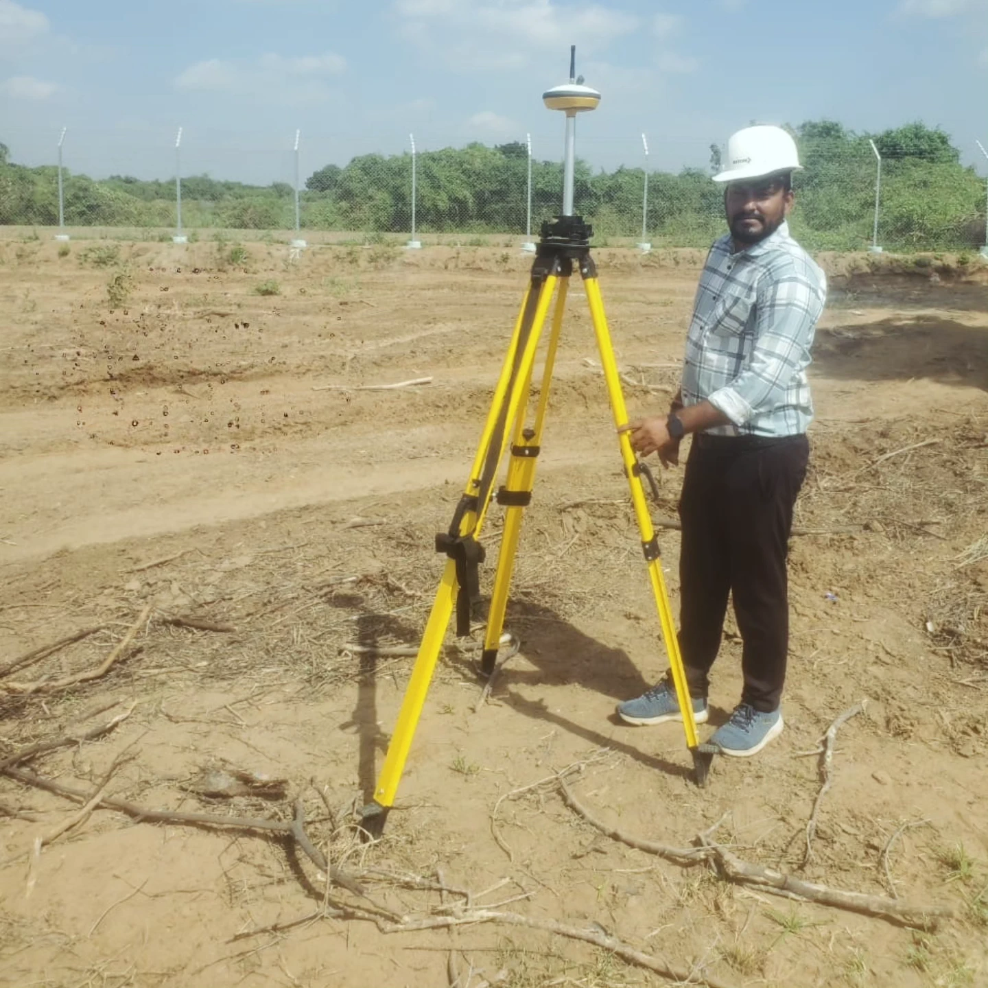
DGPS Receiver

High-precision GNSS equipment for centimeter-level positioning and control surveys.

Precision Optical

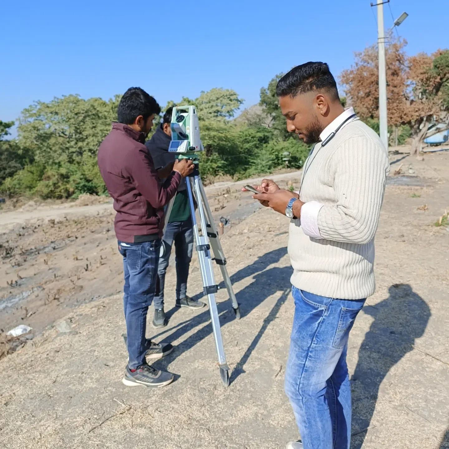
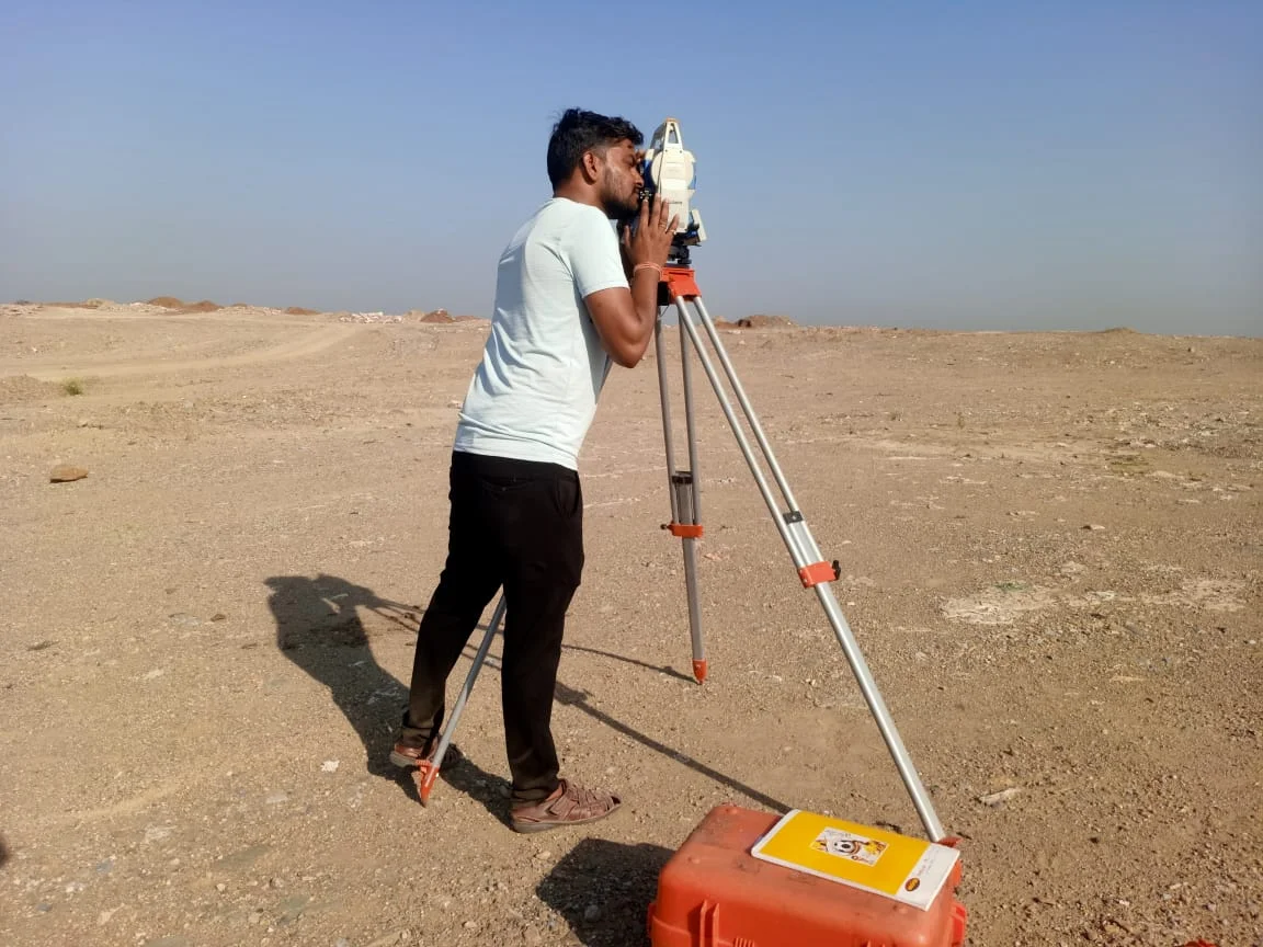
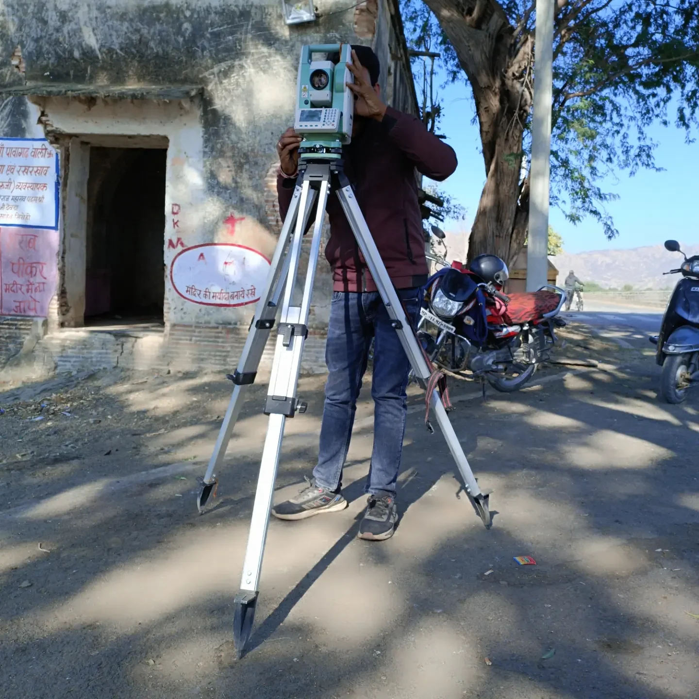
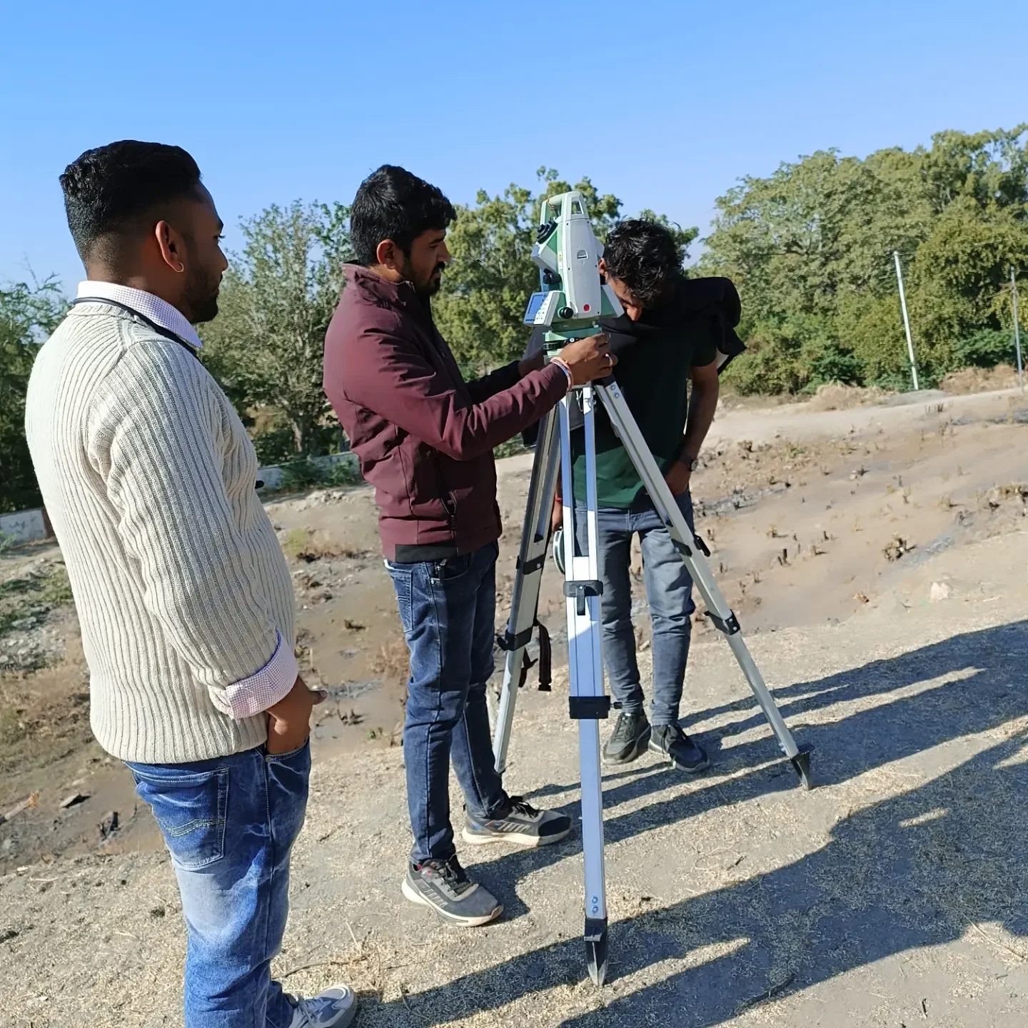
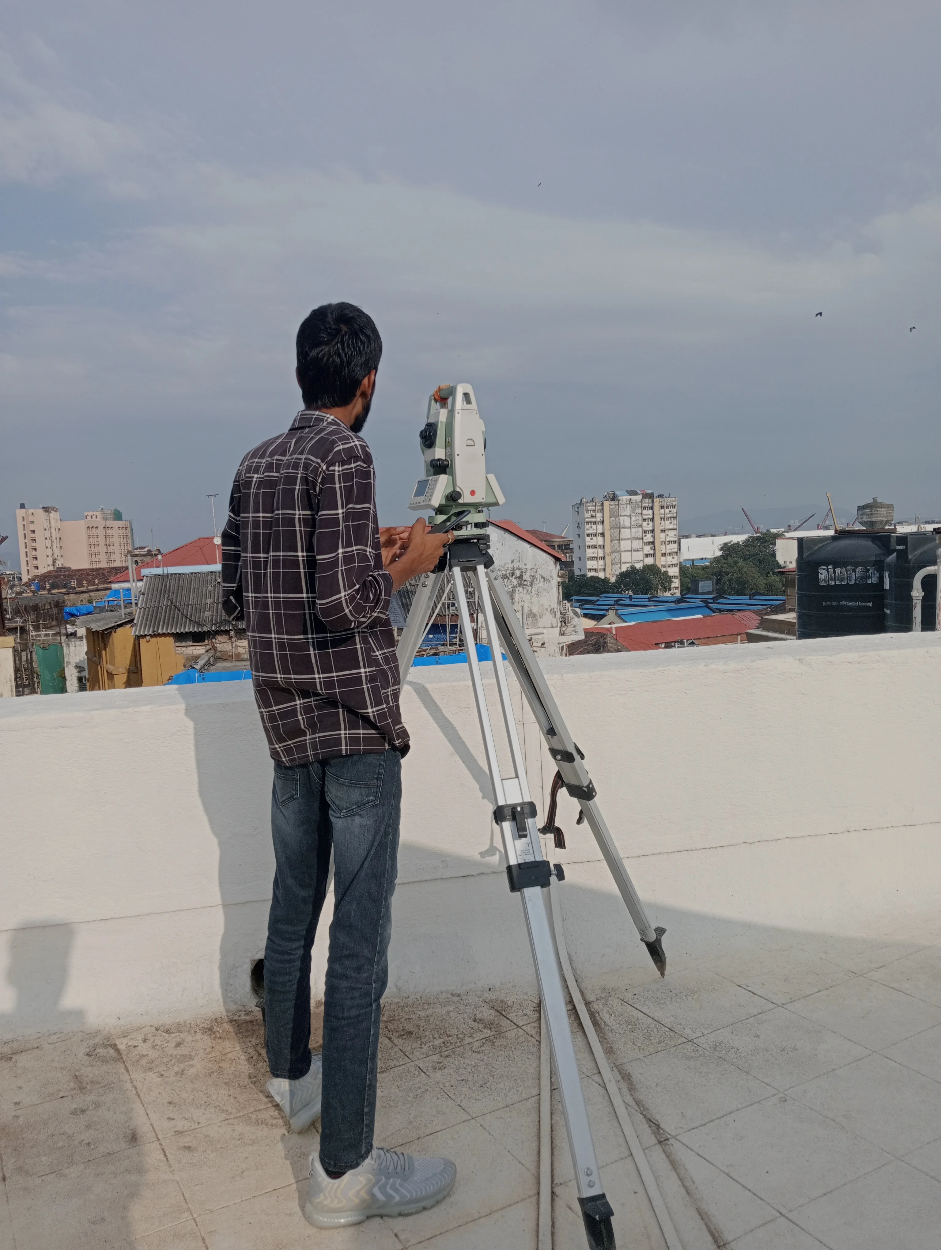
Total Station

Electronic surveying instrument for accurate angle, distance, and layout measurements.

Elevation Control

Auto Level

Precision leveling instrument used for elevation and construction work.

Aerial Surveying

Drone (UAV Survey)

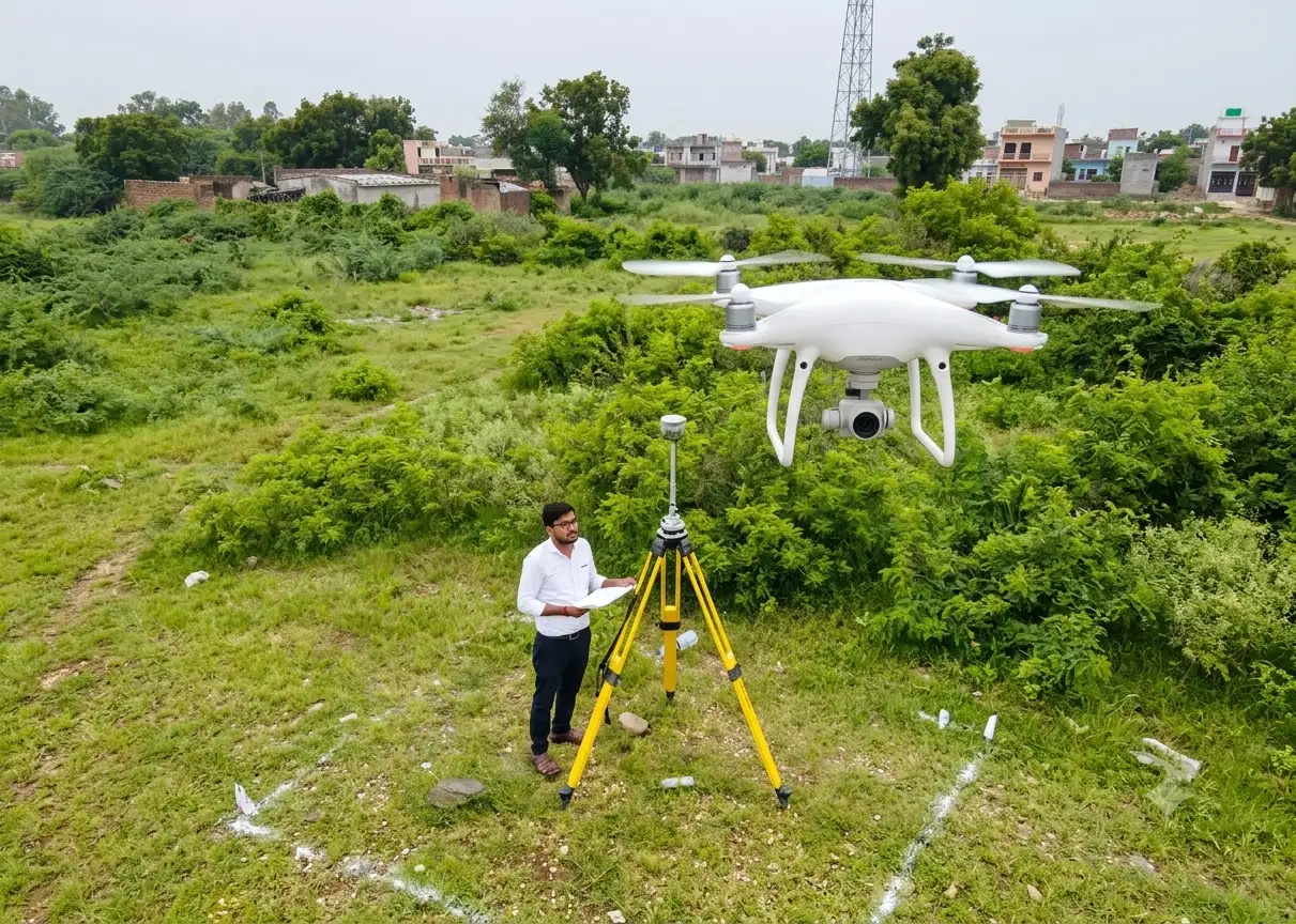
High-resolution aerial surveying for mapping, orthomosaic generation, and volume calculations.

Satellite Tech

GNSS Receiver

Advanced satellite positioning system for accurate field data collection.

Laser Measurement

Laser Distance Meter

Fast and precise distance measurement for engineering applications.

Hardware Support

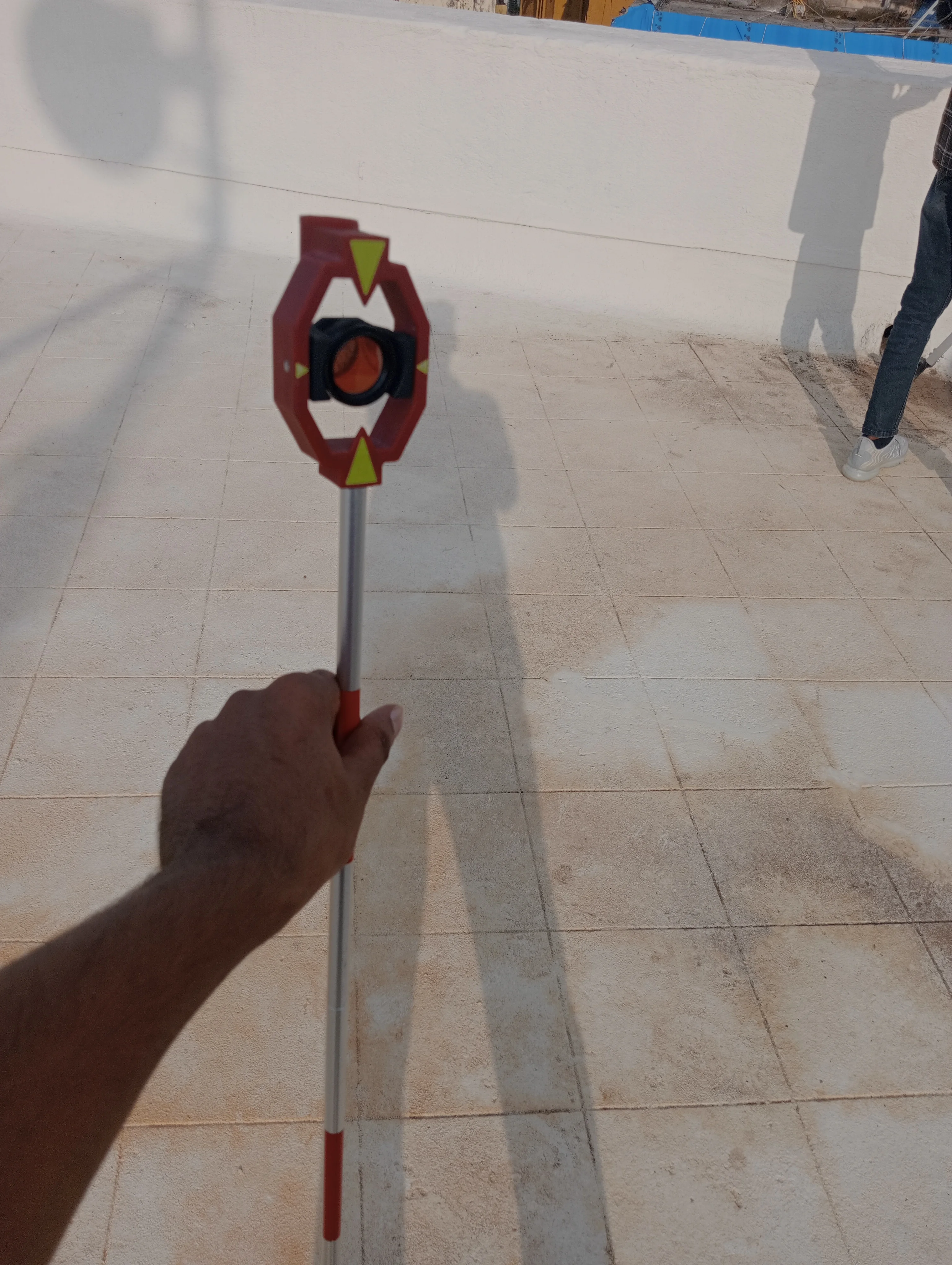
Survey Tripod & Prism

Essential accessories for Total Station measurements and alignment.

Technologies We Use

10 Technologies

DGPS Survey Technology

High-accuracy differential GPS positioning for sub-centimeter field survey control.

RTK Positioning

Real-Time Kinematic satellite navigation delivering instant millimeter accuracy.

Drone Photogrammetry

High-precision aerial photogrammetry for detailed 3D terrain modeling and mapping.

GIS Mapping

Spatial data visualization and geographical analysis for smart decision making.

GPS Positioning System

Satellite-backed spatial data acquisition across wide geographical terrains.

Digital Terrain Modeling (DTM)

3D surface modeling for precise cut-and-fill calculations and contour mapping.

Geospatial Data Processing

Advanced spatial data conversion, feature extraction, and CAD/GIS integration.

Construction Layout Technology

High-precision field stakeout and structural grid alignment services.

Topographical Mapping

Detailed natural and man-made surface feature mapping for civil engineering.

Engineering Survey Solutions

End-to-end spatial data solutions tailored for infrastructure & land development.

CENTRAL GOVERNMENT

& LANDMARK PROJECTS

Precision Surveying • Advanced Technology • Trusted Results

Delivering Precision Across Infrastructure, Real Estate, Heritage, Utilities & Development Projects.

TI
Tagbin India Pvt. Ltd.
VT
Vizara Technologies Pvt. Ltd.
BK
Brahma Kumaris Educational Society, Abu Road
SP
SP College of Education
AV
Adarsh Vidhya Mandir Trust
JM
Jain Mandal Vijaypataka Dham
PG
Power Grid Corporation of India (PGCIL)
GG
Gujarat Gas Ltd.

LANDMARK PROJECTS & SURVEY ASSIGNMENTS

Project Image Heritage & Documentation

RBI Monetary Museum, Mumbai

Existing Building Survey & Documentation

Project Image Heritage & Documentation

CSMT Project, Mumbai

Survey & Documentation

Project Image Heritage & Documentation

HAL Museum Project

Existing Building Survey

Project Image Heritage & Documentation

Ahar Museum

Topographical Survey

Project Image Heritage & Documentation

Fateh Prakash Mahal, Chittorgarh

Survey Work

Project Image Infrastructure

High Transmission Line Projects

Power Grid & Infrastructure Survey

VIEW ALL PROJECTS
— PROJECT PORTFOLIO

Types of Projects Completed

Explore our successfully completed surveying, mapping and infrastructure projects with state-of-the-art technology.

1,250+
Projects Completed
50,000+
Acres Surveyed
180+
Government Projects
99.8%
Client Satisfaction
Residential Layout Surveys
Land & Plot Surveys

Residential Layout Surveys

View Details

Residential Layout Surveys

Land & Plot Surveys

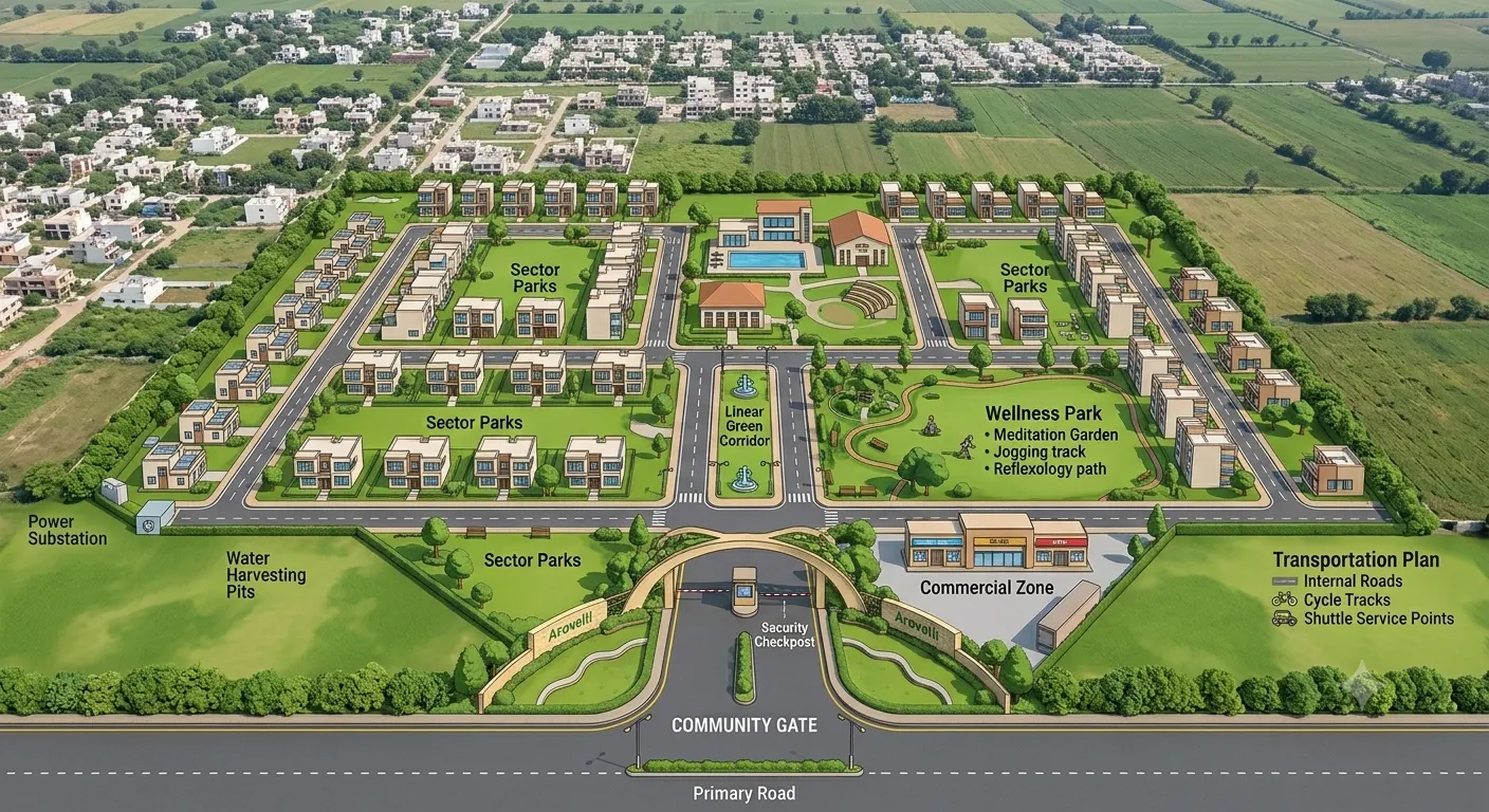
High-precision boundary demarcation and master plot layout planning for modern residential townships.

Sector 42, Green Valley
Leica TS16 Total Station
View Details
Agricultural Land Surveys
Land & Plot Surveys

Agricultural Land Surveys

View Details

Agricultural Land Surveys

Land & Plot Surveys

Comprehensive farmland area measurement, acreage calculation, and contour topographic mapping.

Agri Zone Corridor
Trimble R10 DGPS
View Details
Industrial Land Surveys
Land & Plot Surveys

Industrial Land Surveys

View Details

Industrial Land Surveys

Land & Plot Surveys

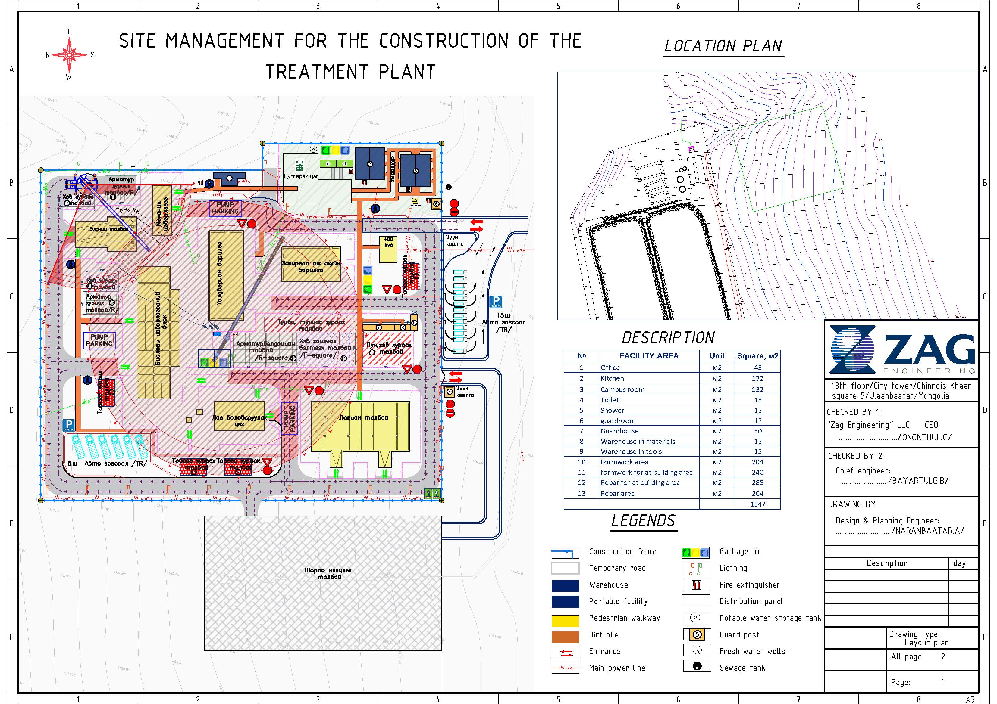
Detailed industrial park layout mapping, utility alignment, and foundation level verification.

GIDC Industrial Estate
CHCNAV i83 GNSS
View Details
Road Alignment Surveys
Infrastructure & Road

Road Alignment Surveys

View Details

Road Alignment Surveys

Infrastructure & Road

End-to-end corridor survey, cross-section profiling, and longitudinal alignment for highway expansion.

National Expressway
LiDAR Scanner & DGPS
View Details
Plot Demarcation Projects
Land & Plot Surveys

Plot Demarcation Projects

View Details

Plot Demarcation Projects

Land & Plot Surveys

Precise pegging, corner coordinate fixing, and official boundary demarcation for legal layout registration.

Sunrise Avenue Phase II
Hi-Target V200 DGPS
View Details
Colony Development Layouts
Layout & Development

Colony Development Layouts

View Details

Colony Development Layouts

Layout & Development

Master plan layout execution, internal road marking, drainage alignment, and open space demarcation.

Royal Palms Township
Total Station TS07
View Details
Topographical Surveys
Infrastructure & Road

Topographical Surveys

View Details

Topographical Surveys

Infrastructure & Road

3D digital terrain modeling, contour line generation, and elevation mapping for major civil works.

Riverside Resort Site
South Galaxy G7 GNSS
View Details
Construction Layout Projects
Layout & Development

Construction Layout Projects

View Details

Construction Layout Projects

Layout & Development

Building column grid axis marking, structural center-line layout, and elevation grade control.

Skyline Towers Site
Sokkia Total Station
View Details
DGPS Control Surveys
DGPS & Drone Mapping

DGPS Control Surveys

View Details

DGPS Control Surveys

DGPS & Drone Mapping

Establishing high-accuracy primary reference control points (GCP) for state survey grids.

State Grid Station 12
Dual-Freq Multi-Constellation DGPS
View Details
Drone Mapping Projects
DGPS & Drone Mapping

Drone Mapping Projects

View Details

Drone Mapping Projects

DGPS & Drone Mapping

High-resolution aerial orthomosaic mapping, 3D point cloud generation, and volumetric analysis.

Infrastructure Corridor
DJI Matrice 300 RTK
View Details
CLIENT TESTIMONIALS

Trusted By Industry Leaders

We are proud to deliver accurate surveying solutions that help our clients complete projects with confidence and precision.

Excellent surveying accuracy and professional service. Their DGPS and Drone Survey team delivered highly precise results within the committed timeline.

Client

Project Client

Infrastructure Project
★★★★★

Highly professional team with modern equipment. Their survey reports were detailed, accurate, and extremely helpful for our construction project.

Client

Engineering Client

Construction Company
★★★★★

Outstanding support from planning to execution. We highly recommend Maa Digital Land Surveyors for accurate land measurement and GIS mapping.

Client

Residential Client

Land Development
★★★★★
INSIGHTS & KNOWLEDGE

BLOG

Explore useful insights, technologies, and expert knowledge related to land surveying, mapping, and engineering.

DGPS Survey DGPS
01 Survey Technology

What Is DGPS Survey and Where Is It Used?

Learn how DGPS technology improves positioning accuracy for land mapping, infrastructure, and engineering projects.

Read More
Topographical Survey TOPOGRAPHICAL
02 Land Survey

Why Topographical Survey Is Important Before Construction

Understand how elevation, contours, roads, buildings, utilities, and natural features support better project planning.

Read More
GIS Mapping GIS MAPPING
03 GIS Technology

GIS Mapping: Turning Survey Data Into Digital Intelligence

Explore how GIS integrates spatial data into digital maps for planning, analysis, land management, and decision-making.

Read More

Get in touch

Civil Engineers & Surveyors on Construction Site

Office address

Sirohi, Rajasthan,
India - 307001

Email us

maadigital.survey@gmail.com
info@maadigitalsurveyors.com

Call us

(+91) 98765 43210
(+91) 94140 00000

Let’s Talk About Your Land Surveyor / Engineering Consultant

Have a land surveying, mapping, or engineering requirement? Connect with Maa Digital Land Surveyors for accurate and technology-driven survey solutions.

OUR LOCATION

Maa Digital Land Surveyors

Your Trusted Partner In Land Solutions

Office Address

Iscon Plaza (Old Cinema Hall),
1st Floor, Shop No. 6 & 7,
Sirohi, Rajasthan

Working Hours

Monday – Saturday

09:00 AM – 06:00 PM

Maa Digital Land Surveyors Sirohi, Rajasthan
— INQUIRE NOW

Have a Project in Mind? Let's Talk

Fill out the form below to get a custom proposal, technical consultation, or project estimation from our expert team.

Please enter your full name
Please enter a valid email address
Please enter your phone number
Please select a project category
Please describe your project requirements

Inquiry Submitted!

Thank you! Our team will contact you shortly.