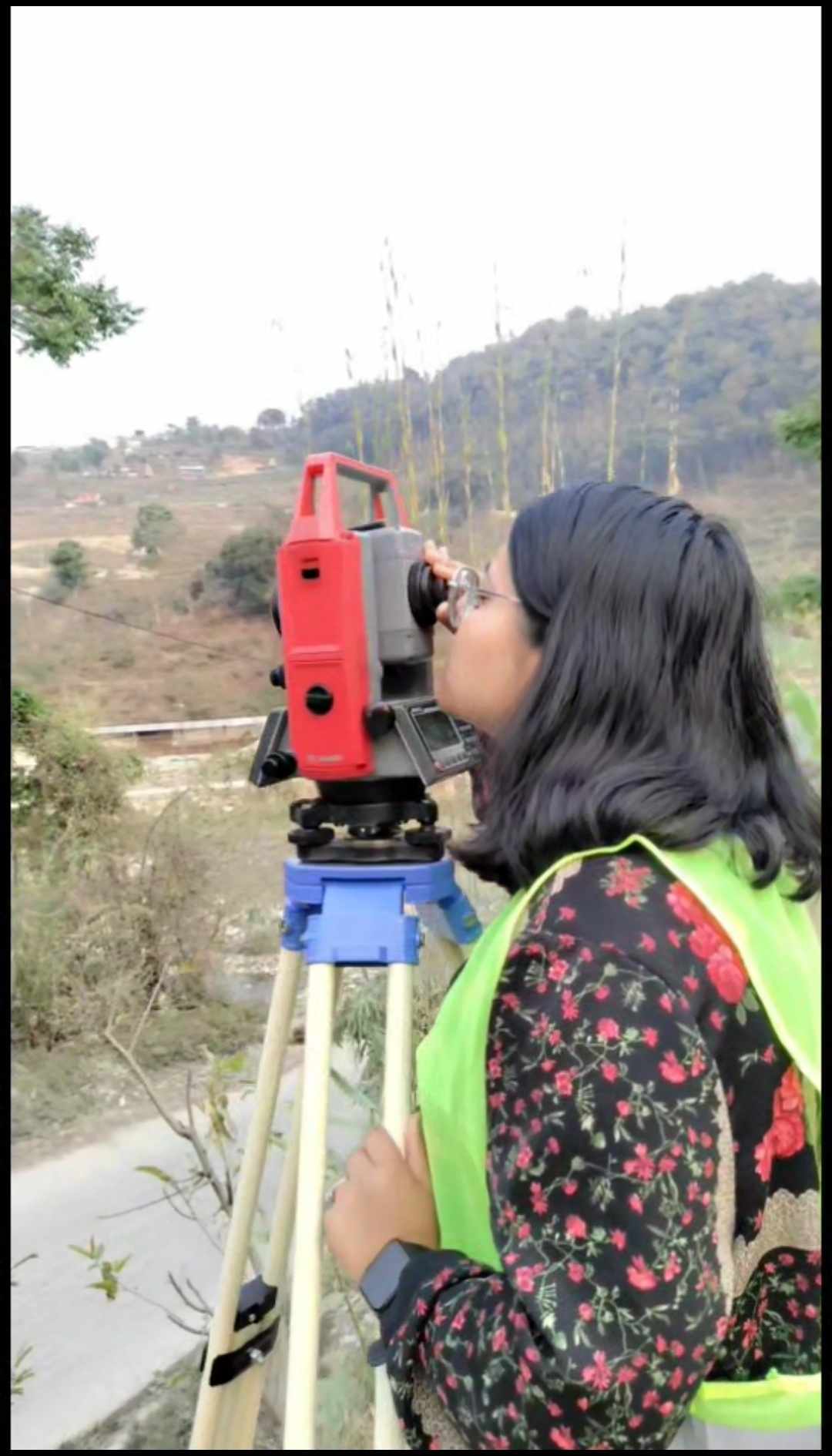
A traverse is a series of connected survey lines whose lengths and directions are measured to determine relative positions of points. It is commonly used in land surveying to establish control networks for mapping and construction. Traverses can be open (where the start and end points are different) or closed (forming a loop or connecting back to the starting point). In closed traverses, errors can be adjusted using mathematical methods to ensure accuracy. Proper traverse calculation is crucial for precision in civil engineering, geodesy, and navigation projects.
Traverse computation is a process used in surveying to determine the coordinates of points by measuring distances and angles between successive points. It involves both linear measurements (distances) and angular measurements (bearings or azimuths). The traverse can be either open or closed, with closed traverses forming a loop that allows for error checks. The accuracy of traverse computation is crucial for creating precise maps and plans. Adjustments may be applied to correct measurement errors, ensuring the traverse closes accurately on itself.