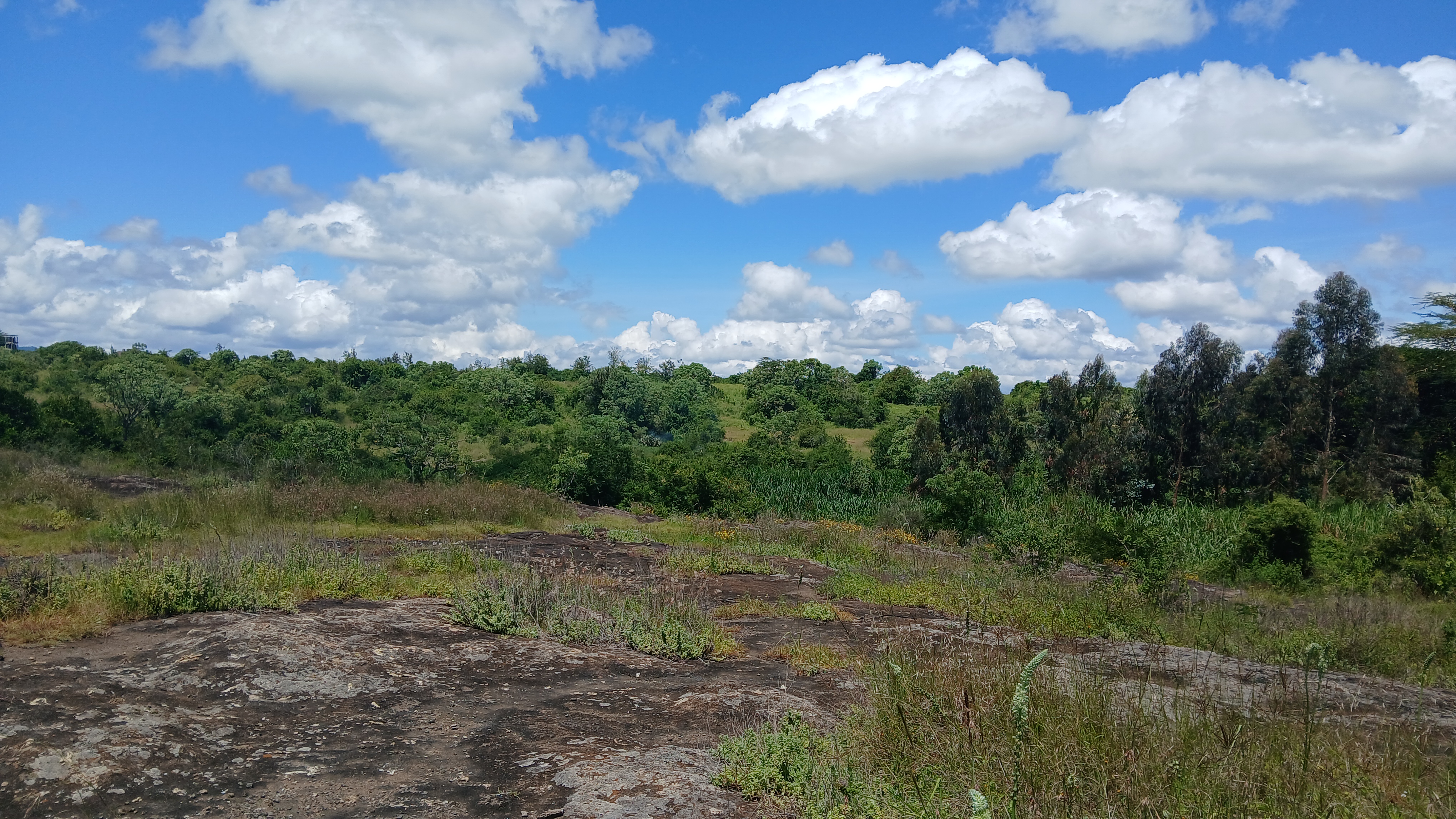
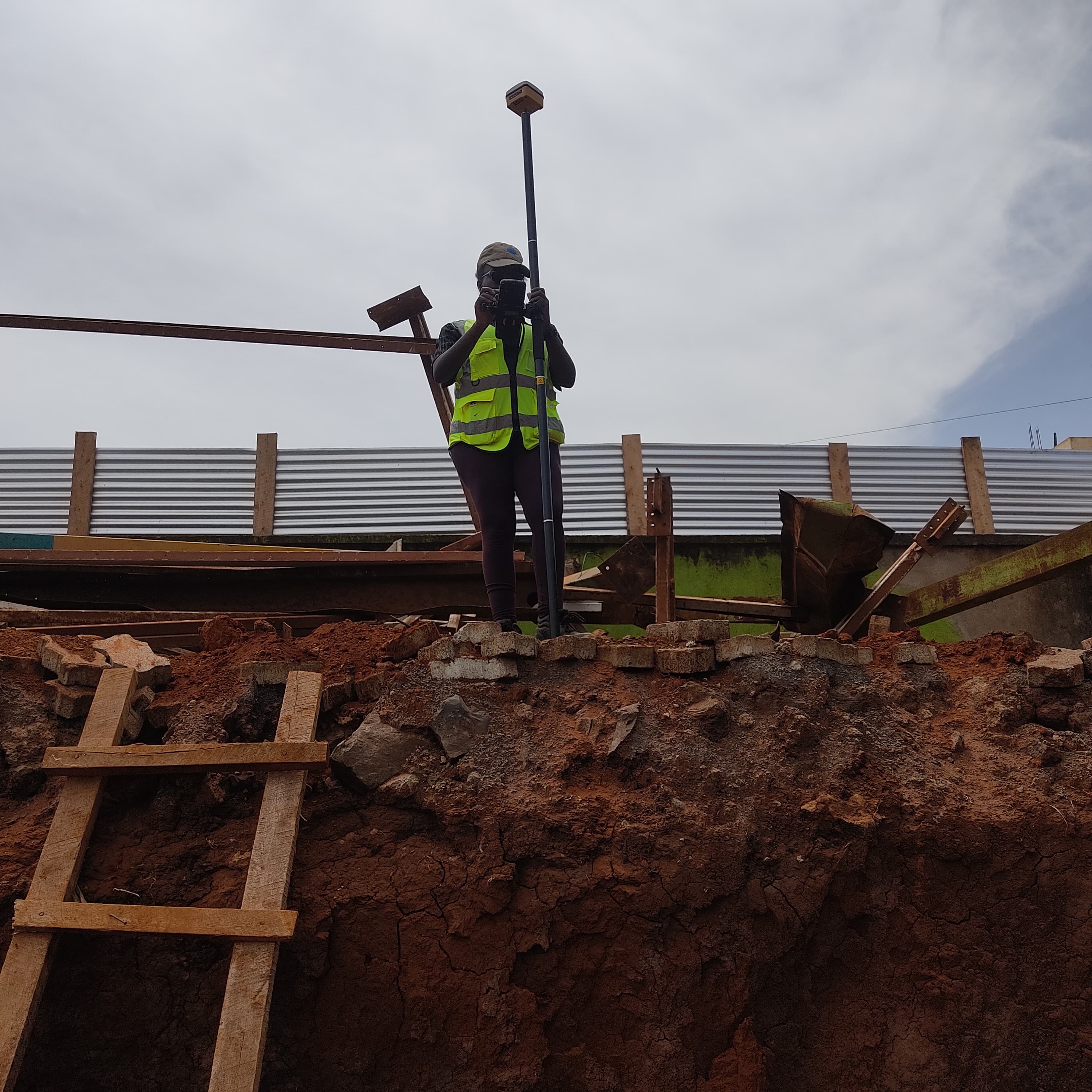
Chaka Ranch
Agricultural expansion survey and GIS mapping project located in Chaka, Nyeri County.
Project Overview
Conducted boundary surveys, topographic mapping, and GIS data integration to support farm planning and optimization.
Services Provided
- Boundary Surveying & Mapping
- Topographic Mapping
- GIS Data Integration
Location
Chaka, Nyeri
Project Type
Farm Planning
Completed
2025
Alhila House Planning
Luxury residential development survey and subdivision planning in Eastleigh, Nairobi.
Project Overview
Provided boundary surveys, subdivision planning, and legal documentation ensuring compliance with county regulations.
Services Provided
- Boundary Surveys
- Subdivision Planning
- Legal Documentation
Location
Eastleigh, Nairobi
Project Type
Urban Planning
Completed
2022
Kisumu Urban Development
City expansion survey and GIS mapping for urban development project in Kisumu.
Project Overview
Comprehensive urban development surveying, GIS mapping, infrastructure planning support, and digital cartography for development zones.
Services Provided
- Urban Development Surveying
- GIS Mapping & Analysis
- Infrastructure Planning Support
Location
Kisumu, Kenya
Project Type
Urban Planning
Completed
2024

Natural State Kenya
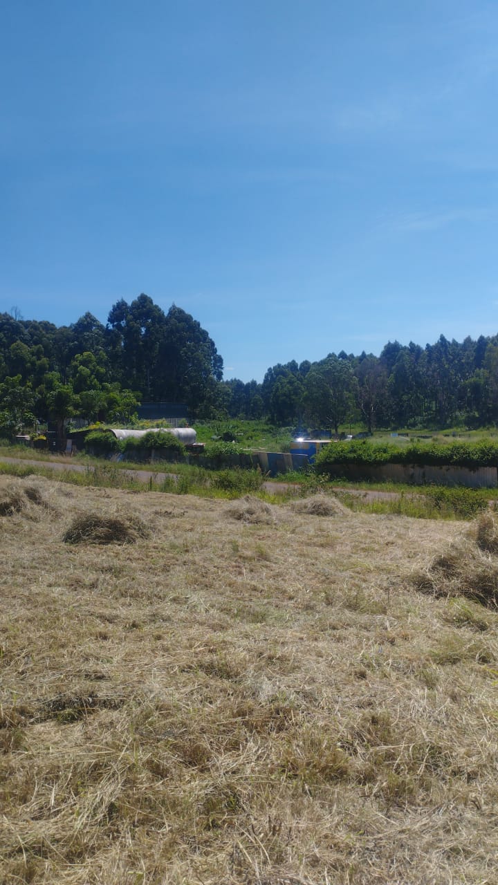
Complete surveying services for a 50-hectare institution development in Nanyuki.
Project Overview
Delivered topographic surveys, site planning, and detailed mapping for construction and development approval across the site.
Services Provided
- Topographic Surveying (50 hectares)
- Site Planning & Layout
- Detailed Mapping
Location
Nanyuki, Kenya
Project Size
50 Hectares
Completed
2024
Chaka Goodshepherds
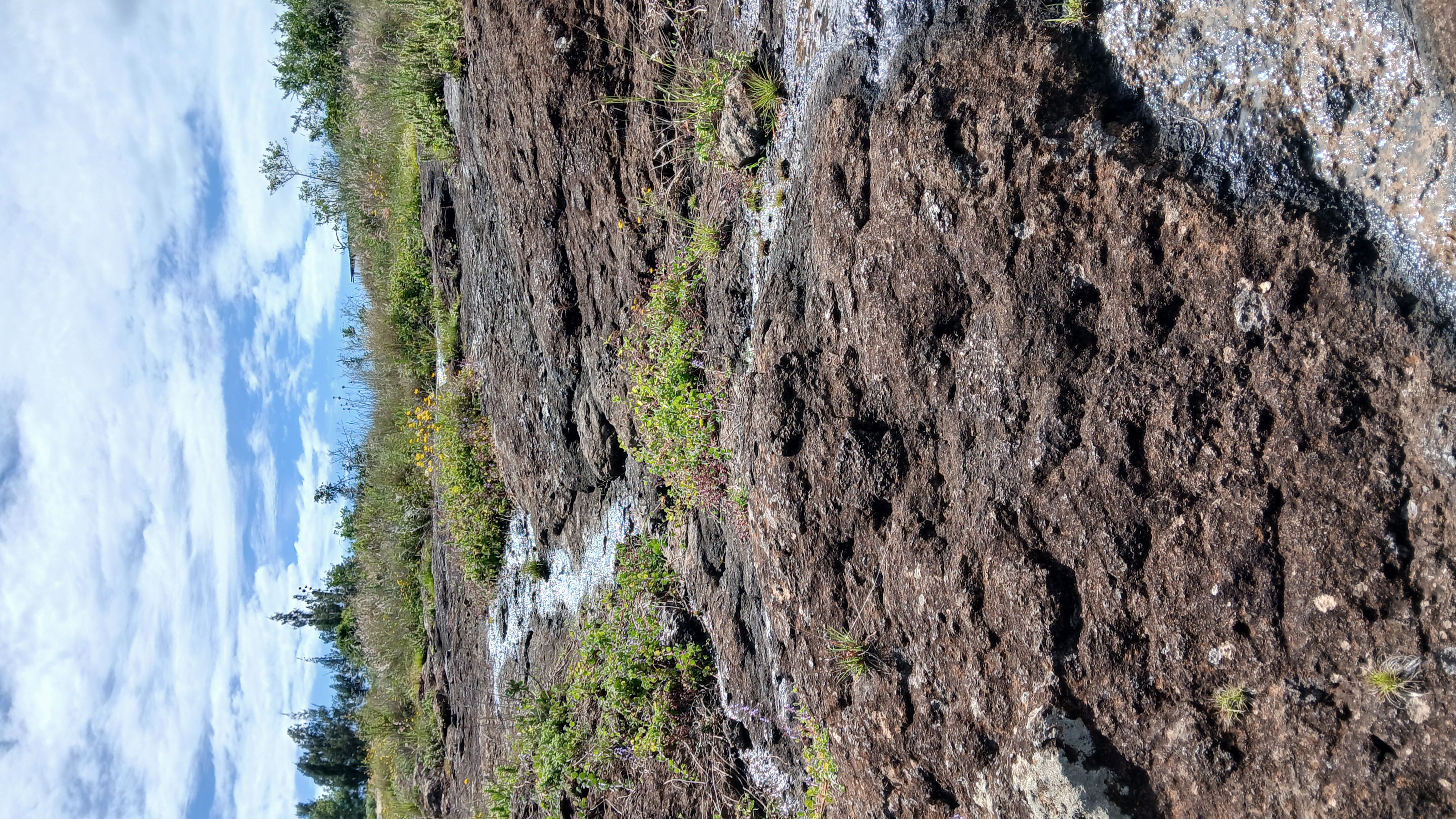
Comprehensive geological and topographical surveys for mining operations in Chaka.
Project Overview
Provided geological mapping, resource assessment surveys, and topographical documentation for sustainable mining practices.
Services Provided
- Geological Surveying
- Topographical Mapping
- Resource Assessment
Location
Chaka, Kenya
Project Type
Mining
Completed
2024
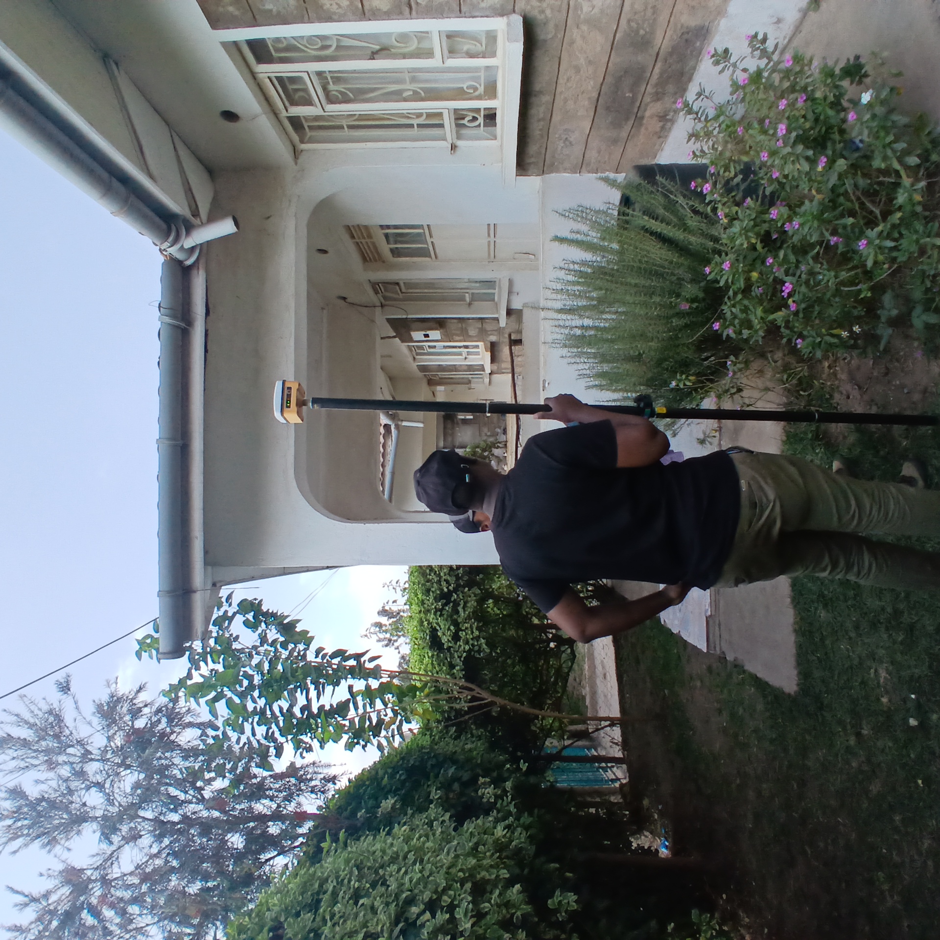
Ruai Residence
Boundary surveys and subdivision planning for luxury residential development.
Project Overview
Accomplished boundary surveying and detailed subdivision planning with lot delineation and access road design.
Services Provided
- Boundary Surveys
- Subdivision Planning
- Lot Delineation
Location
Ruai, Nairobi
Project Type
Residential
Completed
2025